
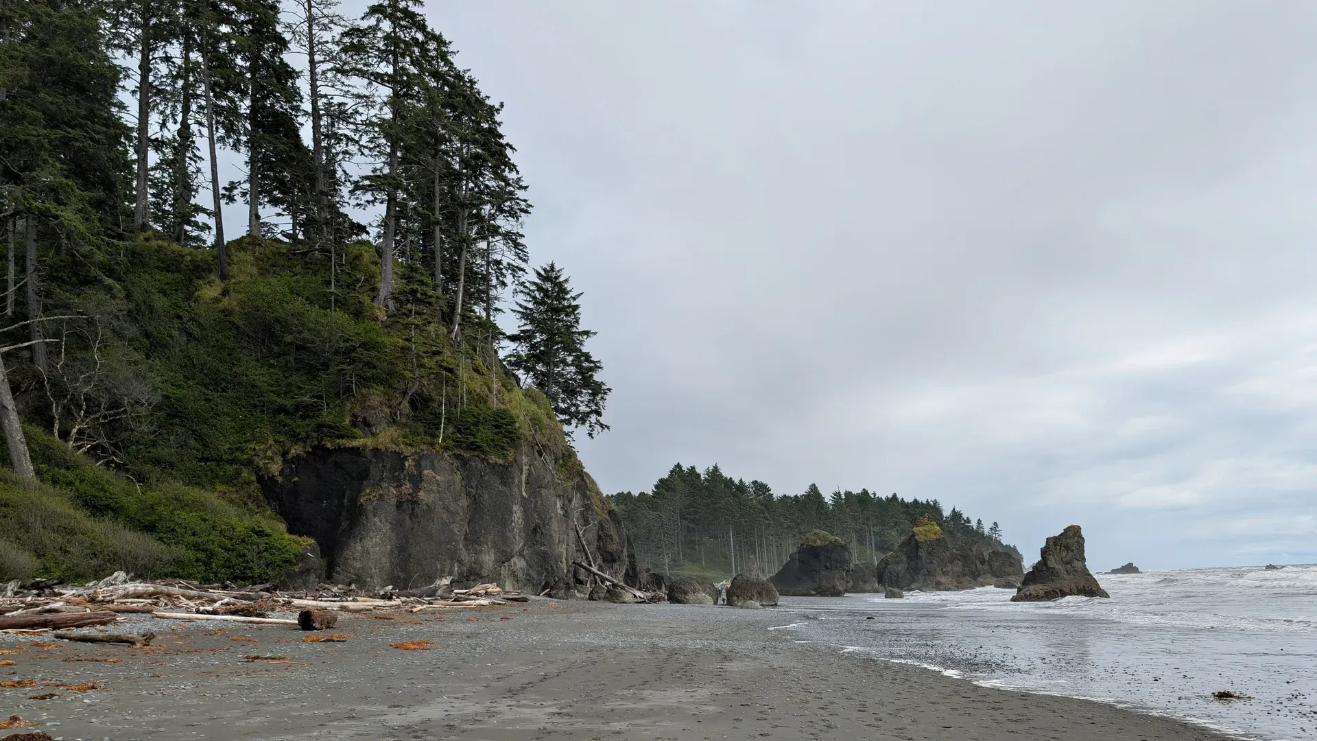
Most visitors fly into Seattle-Tacoma International Airport and rent a car to reach the Olympic Peninsula. You'll cross Puget Sound on a Washington State Ferry, then follow Highway 101 straight into Port Angeles.
Port Angeles, WA
Taking Interstate 5 south out of Seattle avoids the ferry queues entirely. You'll drive roughly 140 miles down to Olympia before catching Highway 101. That two-lane highway circumnavigates the entire Olympic Peninsula. Expect the trip to take 2.5 to 3.5 hours. From Tacoma, an alternative route uses State Route 16 to Bremerton, then SR 3 north to SR 104 across the Hood Canal Bridge. Watch out for bridge closures. It shuts down periodically for boat traffic, backing up cars. Highway 101 connects directly to all major park entrances, including the main headquarters in Port Angeles.
Loading your car onto a Washington State Ferry cuts out the long drive south around Puget Sound. Depart from Colman Dock in Seattle for the 35-minute crossing to Bainbridge Island. You can also sail from Edmonds to Kingston, or Seattle to Bremerton. Fares vary by season for both passengers and vehicles. After driving off the boat, you'll cover about 85 miles on Highway 101. That drive to Port Angeles takes roughly two hours. This route drops you right at the northern edge of the park near the main visitor center. Summer weekends bring massive lines at the ferry terminals. Get there early.
Flying into Sea-Tac Airport puts you 110 to 140 miles from the park entrances. Grab a rental car at the terminal and pick a route. You can drive south on I-5 to connect with Highway 101, or head north to catch a Puget Sound ferry. A car is mandatory. The park covers 922,651 acres with no roads crossing its interior. To see the glacier-capped mountains, temperate rainforests, and Pacific coastline, you'll spend significant time driving Highway 101 between distinct areas. Reaching southern access points like Lake Quinault takes just as much planning as getting to Hurricane Ridge.
Clallam Transit runs public buses across the Olympic Peninsula. Routes start in Port Angeles and connect to Forks, La Push, Lake Crescent, and Neah Bay. Fares are cheap. But service into the park's interior is extremely limited, largely because 95 percent of the park is roadless wilderness. You won't find reliable transit up the 18-mile road to Hurricane Ridge or deep into the Hoh Rain Forest. Check the Clallam Transit website for current schedules. Use the bus for Highway 101 destinations or coastal towns. Skip it if you want to hike the mountains.
Port Angeles anchors the Olympic Discovery Trail, a 70-mile paved path for walking and biking. You can pedal directly from town toward the park. Entry costs $15 per person on a bicycle, and the pass lasts for seven consecutive days. Once inside the park boundaries, federal law heavily restricts where you can ride. Bicycles must stay on paved or dirt roads. They are banned from 95 percent of the park's designated wilderness. The only major exception is the Spruce Railroad Trail along Lake Crescent, which includes a 6.5-mile paved extension specifically open to bikes.
Your $30 vehicle entrance fee covers parking at all visitor centers and trailheads. Summer lots at Hurricane Ridge, Ruby Beach, and Rialto Beach fill fast, triggering metered entry and waits up to two hours. Accessible spaces are available at the main Port Angeles and Hoh Rain Forest visitor centers, while Hurricane Ridge offers sweeping mountain views straight from the pavement.
Swipe to see more
| From | Mode | Time | Cost | Tip |
|---|---|---|---|---|
| Seattle-Tacoma International Airport (SEA) | Rental car | 2.5 to 4 hours | Varies by rental agency | Most visitors fly here and drive. Take I-5 to Highway 101, or cross Puget Sound on a ferry to reach park entrances like Hurricane Ridge. |
| Seattle (Colman Dock) | Ferry and car | About 2.5 hours (35-minute ferry, 2-hour drive) | Fares vary by season for passengers and vehicles | Washington State Ferries run to Bainbridge Island or Bremerton. From the terminal, connect to Highway 101 to reach the main Port Angeles visitor center. |
| Tacoma, WA | Car | 2.5 to 3.5 hours | Fuel costs | Take State Route 16 to Bremerton, then SR 3 north to SR 104 across the Hood Canal Bridge. Check ahead, because the bridge closes periodically for boat traffic. |
| Olympia, WA | Car | 2.5 to 3.5 hours | Fuel costs | Take I-5 directly to Highway 101. This highway completely circles the Olympic Peninsula, eventually connecting to all major park destinations. |
| Port Angeles, WA | Public transit (Clallam Transit bus) | Varies by route | Low-cost local fares | Buses connect to Forks, La Push, and Lake Crescent. Service to interior spots like Hurricane Ridge is limited, so check the current routes online. |
Arrive at Hurricane Ridge or the Hoh Rain Forest before 10 am or after 4 pm during summer. Midday waits stretch up to two hours once parking lots hit capacity. Rangers meter entry at the gates when these areas fill.
No roads cross the park's 922,650-acre interior. You'll need to drive Highway 101, which circles the peninsula, to reach different ecosystems. Consult the official mileage chart to budget drive times between spots like Lake Crescent and Kalaloch.
Taking the Washington State Ferry from Seattle cuts the trip to Port Angeles down to 90 miles. Driving south through Olympia via I-5 covers roughly 140 miles. The ferry involves a 35-minute crossing plus two hours of driving, and you'll pay seasonal vehicle fares.
Grab a free tide chart at a visitor center before hiking coastal routes like Ozette or Rialto Beach. Headlands are only passable at lower tides. Sneaker waves pose a real danger along the shoreline, so pay attention to the water.
Reserve spots at Hoh, Kalaloch, Fairholme, Mora, Sol Duc, and Staircase campgrounds on recreation.gov well ahead of your trip. These locations fill fast on summer weekends. All other park campgrounds operate strictly on a first-come, first-served basis.
Take the Washington State Ferry from Colman Dock to Bainbridge Island. The 35-minute crossing cuts out city traffic and leaves an 85-mile drive to Port Angeles. You can also skip the boats and drive 140 miles south through Tacoma on I-5, connecting to Highway 101.
No roads cross the interior of Olympic National Park. You have to use Highway 101, which circles the entire peninsula and connects the scattered entrance stations. Budget plenty of driving time to get between areas like Hurricane Ridge and the Hoh Rain Forest.
You really need a car to access the major trailheads. Clallam Transit runs local buses connecting Port Angeles, Forks, and Lake Crescent. Service to interior destinations is extremely limited, so you won't find reliable bus routes up to spots like Hurricane Ridge.
The entrance fee is $30 per private vehicle and covers seven consecutive days. Motorcycles cost $25, while anyone entering on foot or a bicycle pays $15. You can also use an America the Beautiful interagency pass or buy a park-specific annual pass for $55.
Seattle-Tacoma International Airport (SEA) is the primary hub. From there, you'll need to rent a car and drive 110 to 140 miles to reach the park. The trip takes two and a half to four hours depending on ferry wait times and your exact route.
From Olympia, take I-5 directly to Highway 101. The Tacoma route uses State Route 16 to Bremerton, then SR 3 north to SR 104. That path crosses the Hood Canal Bridge, which closes periodically for boat traffic.
Summer parking lots fill to capacity at Hurricane Ridge, the Hoh Rain Forest, and coastal beaches like Rialto. Once they fill, entry is metered and you'll wait one to two hours just to park. Arrive before 10 am or after 4 pm to avoid the longest lines.
Browse verified tours with free cancellation and instant confirmation.
Find Tours