Olympic National Park squeezes three parks into one boundary: glacier-capped mountains, 73 miles of wild Pacific coast, and old-growth temperate rainforest that drinks nearly 12 feet of rain a year. No road crosses the interior, so the park's 660 miles of trail are the only way to see most of it. That's the whole point of coming.
The catch is logistics. Trailhead areas sit 30 minutes to two hours apart by car, so the smart plan is to cluster hikes by region and base yourself in Port Angeles, Forks, or Lake Quinault. This guide groups the park's best trails that way, with stats, permits, tide windows, and crowd-dodging swaps built into each region. Nearly 3.7 million people visited in 2024 — the parking math gets ugly by mid-morning in summer, so the early-start advice below is not optional.
The Best Hikes in Olympic National Park at a Glance
Fourteen trails earn a place in this guide, spread across every ecosystem and every difficulty band. Six of them do most of the heavy lifting for first visits, so start there and add the rest once you know how many days you have.
| Hike | Region / hub | RT miles | Gain | Difficulty | Best for |
|---|---|---|---|---|---|
| Hurricane Hill | Hurricane Ridge (Port Angeles) | 3.4 | 826 ft | Easy | Biggest alpine payoff per effort |
| Mount Storm King | Lake Crescent | 5.2 | 2,076 ft | Hard | Challenge and summit views |
| Hall of Mosses | Hoh Rain Forest (Forks) | 0.8 | 100 ft | Easy | Moss-draped old growth, kids |
| Hoh River Trail | Hoh Rain Forest (Forks) | 5.5 | 213 ft | Easy–moderate | Quieter rainforest walk |
| Rialto to Hole-in-the-Wall | Coast (Forks) | 3.3 | 108 ft | Easy | Tide pools and a sea arch |
| Shi Shi to Point of Arches | Coast (Neah Bay) | 8.8 | 561 ft | Moderate | Sea-stack finale |
Families and anyone short on legs: Sol Duc Falls, Marymere Falls, and Hall of Mosses. Biggest view for the least sweat: Hurricane Hill, 3.4 paved miles to a 360-degree Olympic panorama. Best challenge: Mount Storm King, and only if exposed rock and ropes sound fun. Best beach hike: Shi Shi Beach to Point of Arches, worth the mud. The remaining eight trails below fill out each region with waterfalls, ridge walks, and backpacking routes.
Know Before You Go: Fees, Permits & Getting Around
Day hiking in Olympic is paperwork-free. You need the entrance pass — $30 per private vehicle, valid for 7 consecutive days — and nothing else. America the Beautiful and park annual passes are accepted. That's the full day-hike permit story, despite blog posts telling you to print reservations or leave passes on dashboards.
Overnight is different. Every backcountry night requires a Wilderness Camping Permit at $8 per person per night (ages 16+) plus a $6 non-refundable reservation fee, with a group-size cap of 12. All permits are reserved in advance on Recreation.gov — the park no longer issues walk-up permits at trailheads, so book early for summer dates. Youth 15 and under are free.
Two trailheads sit on the Makah Reservation at the peninsula's northwest tip, and tribal land plays by its own rules: Shi Shi Beach and Cape Flattery require a Makah Recreation Pass, about $20 per vehicle, bought in Neah Bay. It's separate from any national park pass — budget for both.
Base yourself by region. Port Angeles covers Hurricane Ridge, Lake Crescent, and Sol Duc; Forks covers the Hoh, Rialto, and La Push; Lake Quinault covers the south rainforest. Most visitors arrive from Seattle via the Bainbridge or Edmonds ferry, then drive Highway 101, which circles the peninsula and links every entrance. Fill the tank and buy food in the hub towns — trailhead amenities are minimal, cell service dies fast, and you'll want offline maps loaded before you lose signal.
Hurricane Ridge: The Alpine Headliner
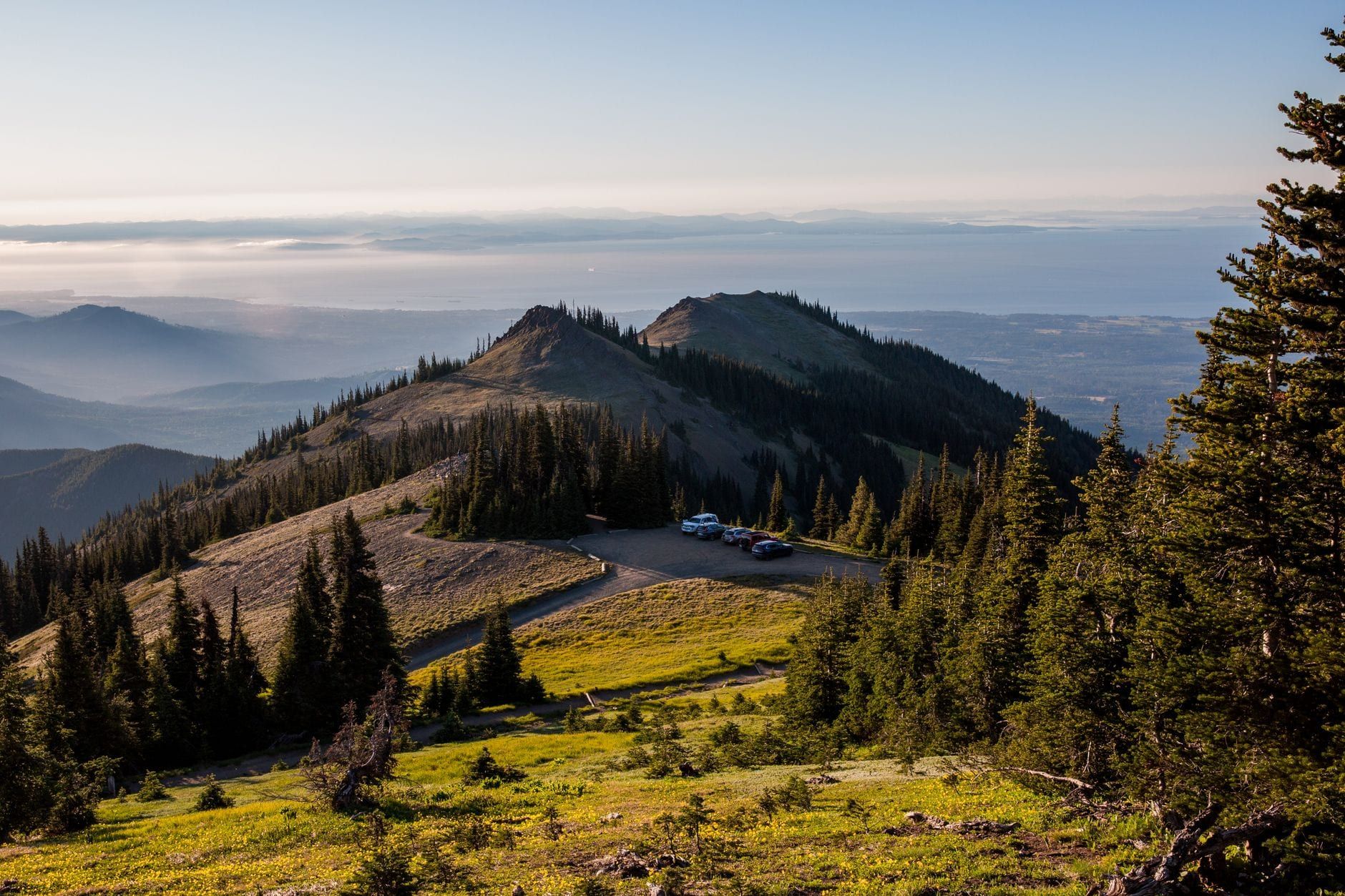
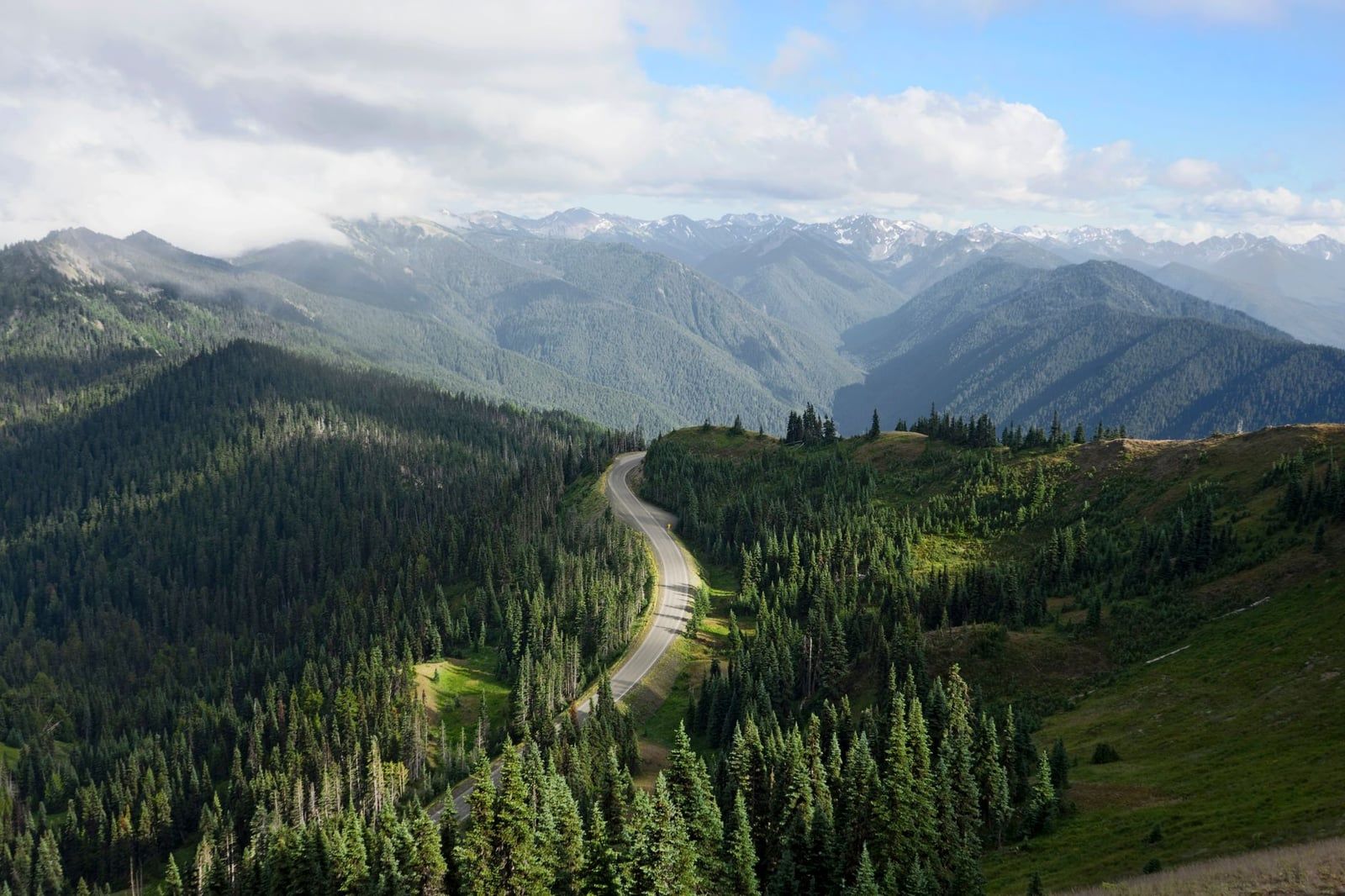
Seventeen paved miles up from Port Angeles, Hurricane Ridge is where the park shows its mountains. Come here first if alpine meadows and glacier views are the reason you came at all.
Hurricane Hill
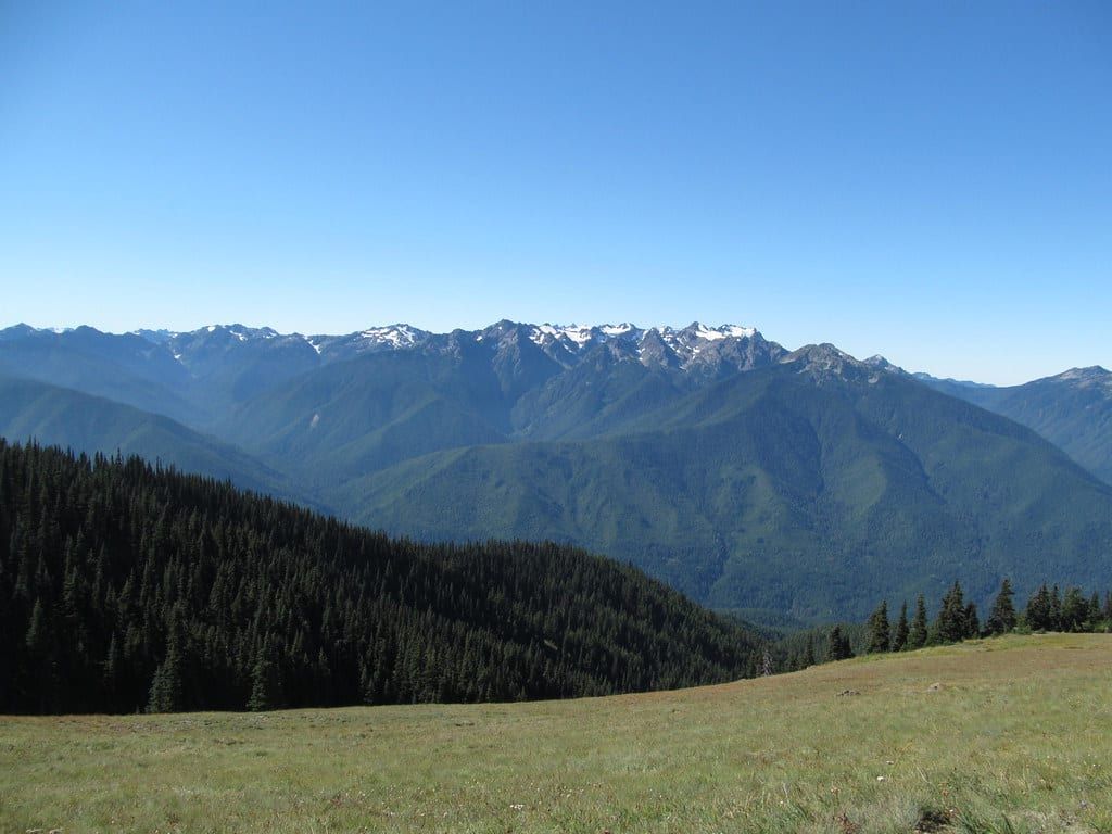
At 3.4 miles round trip with 826 feet of gain, Hurricane Hill delivers the best view-per-effort ratio in the park. The trail is paved the entire way to the 5,757-foot summit, where the Olympic range, the Strait of Juan de Fuca, and Lake Crescent all open up at once. Olympic marmots — found nowhere else on Earth — whistle from the rocks, and deer graze the meadows with casual disregard for hikers. The parking lot holds about 40 cars; arrive by 8 AM in summer or you'll walk an extra half mile from the overflow lot.
Winter access is limited: from mid-December through March the upper road opens weekends and Monday holidays only, 9 AM to 4 PM, weather permitting, and vehicles must carry tire chains. Check the road status before driving up — it closes outright in storms.
Klahhane Ridge
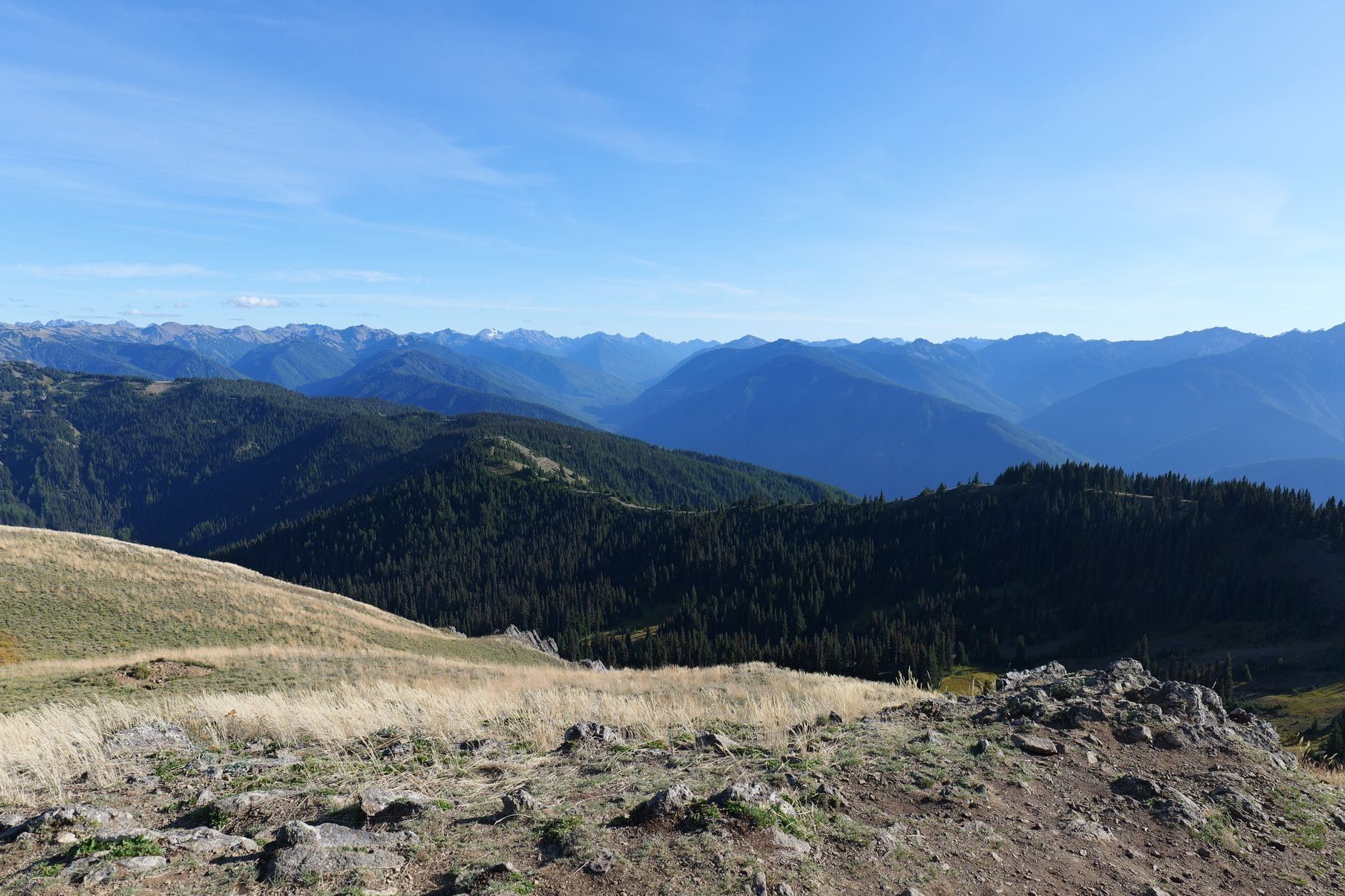
Want the same ridgeline without the pavement and tour buses? Klahhane Ridge via Sunrise Ridge runs about 7 miles with 2,045 feet of gain on a larch-and-meadow traverse that stays above the trees. On clear days you can pick out the San Juan Islands and Dungeness Spit. There's no shade anywhere on the route, so carry more water than feels reasonable and pack sun protection even on cool days.
Lake Crescent & Sol Duc: Waterfalls and Big Views
One highway, two valleys, four very different hikes. This is the most efficient cluster in the park — you can string Marymere, Storm King, and the Spruce Railroad Trail into a single full day, with Sol Duc as the next morning. Our Lake Crescent guide covers the dining and lodging side if you want to linger.
Marymere Falls
A 1.8-mile round trip with about 320 feet of gain, starting at the Storm King Ranger Station on Lake Crescent's shore. The trail tunnels under old-growth fir and hemlock to a 90-foot ribbon of water, and the grade stays gentle enough that this is the park's default kid hike. It's popular — go early or go late afternoon.
Mount Storm King
Here's the honest version: Mount Storm King is 5.2 miles round trip and 2,076 feet of gain, and the maintained trail ends about 0.4 miles below the summit. To reach the top you pull yourself up fixed ropes and scramble exposed rock above a serious drop. One blog lists this as "easy" — it is not. People get hurt here. If you stop at the maintained viewpoint, you still get one of the finest lake-and-strait views in Washington; wear gloves if you attempt the ropes, and turn around the moment the rock is wet. That's a judgment call you make on the rock, not in the parking lot.
Sol Duc Falls
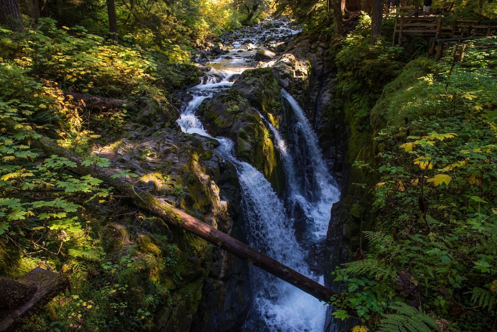
Sol Duc Falls splits into up to four channels and drops about 48 feet into a mossy canyon — the most photographed waterfall in the park, and just 1.6 to 1.8 miles round trip with minimal gain. From the same trailhead, the 6.1-mile Lover's Lane Loop continues through old-growth to the hot springs; the southern leg is the scenic half, so hike it out-and-back if you're short on time. Either way, finish with a soak in the Sol Duc Hot Springs pools. Trail and springs in one stop is hard to beat.
Spruce Railroad Trail & Devil's Punchbowl
An 11.2-mile paved rail-trail tracing Lake Crescent's north shore on an old railroad grade, with two dark tunnels — bring a headlamp. Most people walk just 1.2 miles to Devil's Punchbowl, a deep turquoise swimming hole spanned by a bridge, and turn around. It's flat, it's one of the few trails where leashed dogs are allowed, and it's the obvious pick when the weather is too foul for the high country.
Rainforest Hikes: Hoh & Quinault
Pick one rainforest outing, not three. The Hoh draws the crowds; Quinault offers the same moss-draped trees with a fraction of the visitors, and the Hoh River Trail gives you the forest without the loop-trail congestion. Choose based on your route around the peninsula.
Hall of Mosses
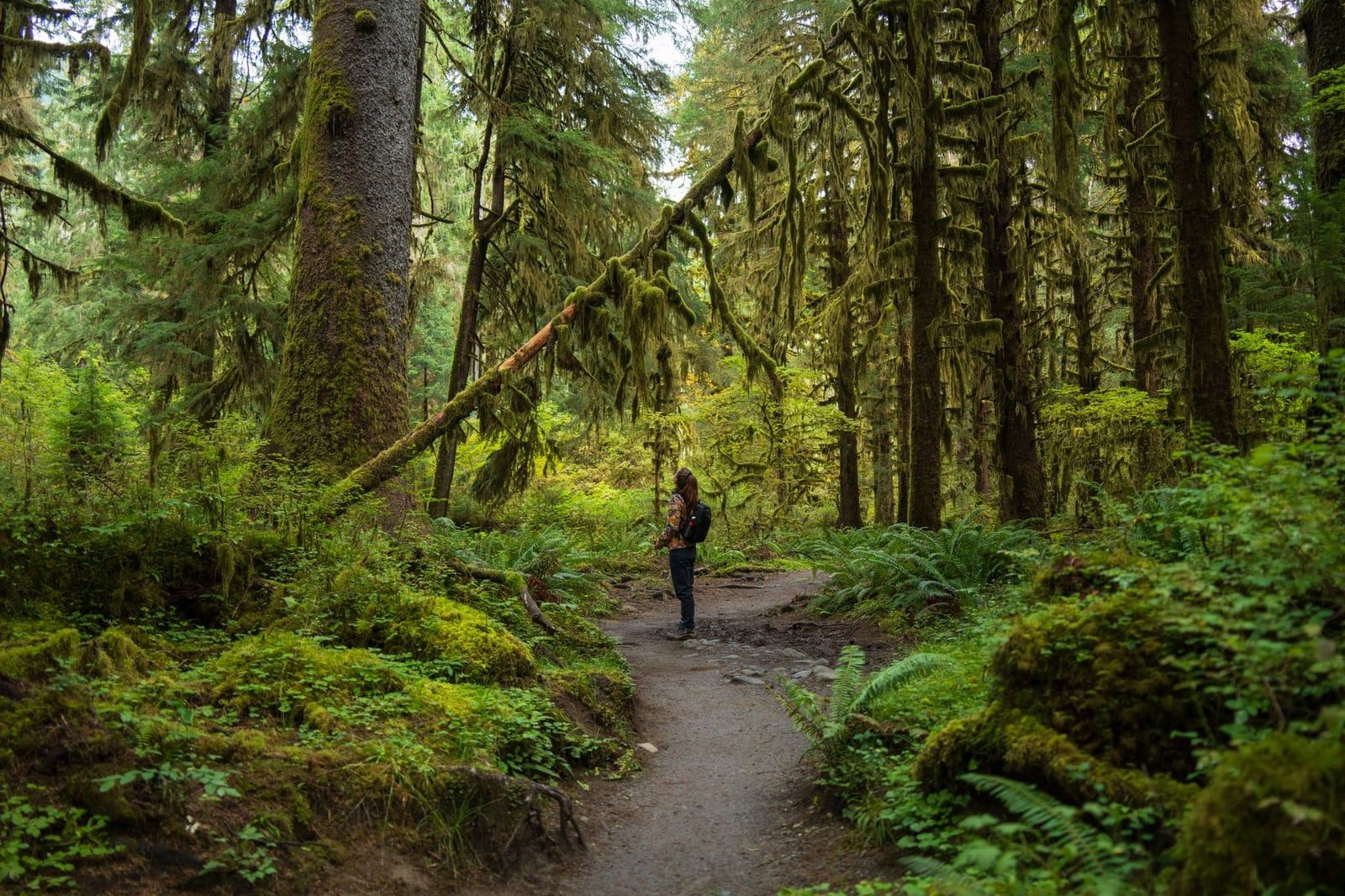
The 0.8-mile Hall of Mosses loop is the image everyone has of the Hoh: bigleaf maples strung with club moss like green curtains, light filtered to an aquarium glow, ferns to the trunk line of every fallen giant. It's the most crowded short trail on the peninsula — arrive before 9 AM or after 4 PM in summer. And go in fog or light rain anyway; the forest looks its best wet, and you'll have the umbrella-weather hours nearly to yourself.
Hoh River Trail to Mineral Creek Falls
Keep walking past the loops. The Hoh River Trail runs 5.5 miles round trip to Mineral Creek Falls with barely 213 feet of gain, following the glacier-fed river under spruce that rank among the largest living things in the state. Most visitors never make it past mile one, so the crowds thin fast. Roosevelt elk graze the river flats — keep 50 yards off. If you have young kids along, the 1.2-mile Spruce Nature Trail by the visitor center is the add-on. This is also the gateway route for the multi-day walk toward the Blue Glacier on Mount Olympus.
Quinault Rain Forest Nature Trail
A 0.9-mile loop with about 121 feet of gain, through the same class of old growth as the Hoh but with a fraction of the traffic. The Quinault valley holds some of the largest known Sitka spruce and Douglas firs on Earth, and the loop passes several of them. If your itinerary runs down the peninsula's west side anyway, skip the Hoh crowds and do this instead — then have lunch at Lake Quinault Lodge, built in 1926.
Coastal Hikes: Beaches, Sea Stacks & Tide Pools
Every hike in this section is a tide-table decision before it is a trail decision. The park posts tide charts at coastal ranger stations and visitor centers, and headlands become walls of impassable rock once the water comes in. Our tide pool guide covers the marine-life side; here's the hiking order, running south to north from La Push to Neah Bay.
Second Beach
Second Beach is 1.6 miles round trip with 291 feet of gain — forest, a ladder of stairs, a rope-assisted log bridge, then a wide cove backed by sea stacks. Time it around low tide for the tide pools along the headland; it's also the coast's best sunset walk, since the beach faces open Pacific. Camping here needs a wilderness permit. Nearby Third Beach is the quieter, similar alternative and the standard launch for beach-backpacking routes.
Rialto Beach to Hole-in-the-Wall
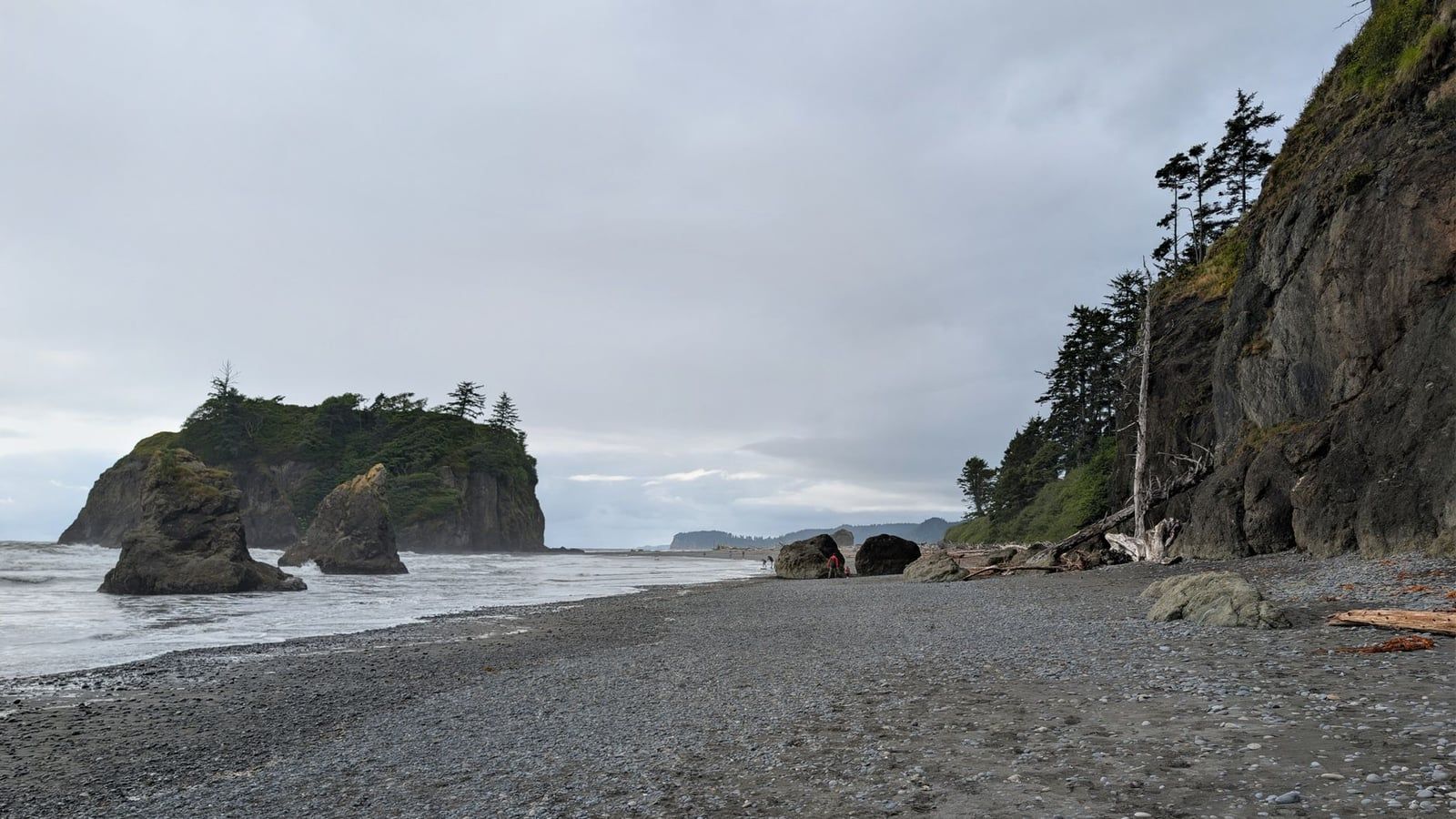
The classic half-day coast walk: 3.3 miles round trip, almost flat, along a cobble-and-driftwood beach to a natural rock arch you can walk through. At low tide the rocks around the arch hold the best tide pools on this stretch — sea stars, anemones, crabs in every crevice. At high tide the route around the headland is impassable, so check the chart posted at the parking lot and plan to be back before the water closes the window.
Ozette Loop
The Ozette Triangle is 9.4 miles in three legs: three miles of boardwalk through coastal forest, roughly three miles of open beach, three more miles of boardwalk back. The beach leg passes Cape Alava, the westernmost point of the contiguous United States, and the Wedding Rocks petroglyphs carved centuries ago into the shoreline boulders. Do the beach section at low tide — walking the headland forest detours at high water turns a great day into a long one. The boardwalk is slick when wet, always, so slow down and watch your footing.
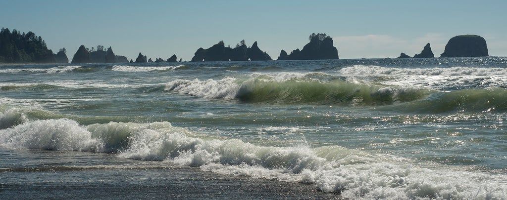
Shi Shi Beach to Point of Arches
The finest coastal hike in Washington, and it earns the title at the end: Point of Arches is a procession of sea stacks standing just offshore, best at sunset with the tide out. The route is 8.8 miles round trip with about 561 feet of gain, starting from the Makah Reservation — the trailhead requires the Makah Recreation Pass, and camping needs a wilderness permit. The approach trail is famously, shin-deep muddy; wear boots you don't love. Most people camp a night on the beach to catch both sunset and morning tide pools.
Bonus: Cape Flattery
Cape Flattery is not inside the park — it sits on the Makah Reservation just west of Neah Bay — but every hiker driving out for Shi Shi should consider the 1.5-mile round trip anyway. A cedar boardwalk leads to cliff-edge platforms at the northwesternmost point of the contiguous US, with sea caves below and gray whales passing during migration seasons. Makah pass required; buy it in Neah Bay on the way through.
Big-Mileage & Multi-Day Options
Day hikers can stop here. But if you have the gear and the nights, Olympic's backcountry is the reason people move to Washington. Our backpacking guide goes deeper on logistics; these are the three routes worth planning a trip around.
Enchanted Valley
Roughly 29 miles round trip with about 3,250 feet of gain, following the East Fork Quinault River to a hanging valley ringed by waterfalls, with the 1931 Enchanted Valley chalet standing in the meadow. Primitive camps at Pony Bridge (2.5 miles), O'Neil Creek (6.4 miles), and Pyrites Creek (9 miles) let you break it into two or three nights, and the wildlife is the park at its best — black bears, elk, and deer throughout the drainage. A bear canister is required for camping here; rent one at the Quinault ranger station if you don't own one. Wilderness permit mandatory.
High Divide / Seven Lakes Basin
The park's marquee alpine loop: about 19 miles of ridge walking above subalpine lakes, typically done over one or two nights from the Sol Duc side. Black bears work the berry slopes in late summer and the views run to Mount Olympus and its glaciers. Summer permit reservations go fast — this is the hardest-to-book itinerary in the park, so have a backup date.
Mount Ellinor
Full disclosure: Ellinor is outside the park, in Olympic National Forest, and requires a Northwest Forest Pass rather than a park pass. It earns a mention because it's the Southeast Olympics' signature climb — 6.2 miles round trip, roughly 3,300 feet of gain, and a 360-degree summit over the whole peninsula, Puget Sound, and (clear days) Rainier. Steep from the first step. Fit hikers only, but worth every switchback.
When to Hike & What to Pack
July through September is the reliable window — every road open, high country snow-free, and daylight stretching from about 5 AM to 10 PM near the solstice. But each season has its job. The full breakdown is in our best time to visit guide; the short version for hikers:
High-elevation trails like Hurricane Hill and Klahhane Ridge usually shed their snow by mid-to-late June — before that, expect whiteout meadows. The rainforest and coast work nearly year-round, and spring and fall are underrated there: moody, wet, and empty. Mosquitoes peak mid-July through mid-August, worst in the low valleys. The Hoh receives almost 12 feet of rain a year, so a dry forecast in Seattle means nothing under the canopy.
Whatever the month, be on trail before 8 AM in summer. It's the standard local tactic for both parking and solitude — by midday on summer weekends, waits at filled lots like Hurricane Ridge can run 30 minutes to two hours.
- Rain shell and quick-dry layers — temperatures swing 10–20°F in a day
- Waterproof footwear; rainforest and boardwalk trails stay muddy all summer
- 2–3 liters of water per person; filter any stream water before drinking
- Offline maps and a headlamp (Spruce Railroad tunnels, late finishes)
- Trekking poles for slick coastal boardwalk and Storm King's descent
- A printed tide table for every coastal day
- Ten essentials plus proper food storage — hang it or canister it overnight
Wildlife, Tides & Trail Safety
Olympic has black bears, not grizzlies. Most encounters end with the bear leaving, but mothers with cubs are defensive, and the rule is the same either way: stay 50 yards back, never leave food unattended, and store food properly overnight. Mountain goats and cougars live here too; goats have injured hikers before, so if one approaches, back away and keep the distance yourself. Elk look tame and are not, especially in fall rut.
The coast is the park's most underrated hazard. Beach routes at Hole-in-the-Wall, Ozette, and Shi Shi get cut off by rising water, and sneaker waves can sweep people off rocks with no warning — posted tsunami evacuation signs along the coast are there for a reason. Read the tide table before you walk, plan your turnaround, and never let the water pin you against a headland. If in doubt, sit and wait it out on high ground.
Two final honesty checks. On Storm King, the ropes are a climbing route, not a handrail — if the rock is wet or your legs are shaking, the maintained viewpoint is your summit. And several trailheads, including Shi Shi, sit on the Makah Reservation: buy the pass, follow posted rules, and treat closures as law, not suggestion.
FAQs About Hiking Olympic National Park
The questions hikers actually ask before booking the ferry:
Frequently asked questions
What is the best time of year to hike in Olympic National Park?
July through September for the high country — alpine trails hold snow until mid-to-late June. Rainforest and coastal trails are hikeable nearly year-round, and the wet, quiet spring and fall months are the locals' secret. Mosquitoes peak mid-July to mid-August.
How many days do you need for Olympic National Park?
Three to four days lets you sample mountains, rainforest, and coast without rushing, since drives between trailhead areas run 30 minutes to 2 hours. Pick one or two base towns — Port Angeles and Forks cover the most ground.
Are dogs allowed on Olympic National Park trails?
Almost nowhere. Pets are prohibited on nearly all park trails and in the wilderness; they're allowed only on a short list like the Spruce Railroad Trail and Madison Falls Trail, plus campgrounds and roads. Leave the dog home.
Do I need a permit to hike in Olympic National Park?
Day hikes need only the entrance pass ($30 per vehicle, valid 7 days). Overnight trips require a Wilderness Camping Permit — $8 per person per night plus a $6 fee — reserved in advance on Recreation.gov. Shi Shi and Cape Flattery also need the ~$20 Makah Recreation Pass.
Which Olympic hikes require tide planning?
All of them, but three critically: Hole-in-the-Wall at Rialto Beach is only passable at low tide, the Ozette Loop's beach leg is far easier and safer at low tide, and Point of Arches is best explored around low tide. Carry a tide table every coastal day.
What are the best easy hikes for kids?
Sol Duc Falls (1.6–1.8 miles RT), Marymere Falls (1.8 miles RT to a 90-foot waterfall), Hall of Mosses (0.8-mile loop), and Hurricane Hill (3.4 miles, paved). Second Beach adds a big sea-stack payoff for minimal effort.
How do I avoid crowds on the most popular hikes?
Start before 8 AM, favor May or late September, and swap headliners for their quiet twins: Klahhane Ridge instead of Hurricane Hill, the Hoh River Trail or Quinault's nature loop instead of Hall of Mosses. The views don't change; the company does.