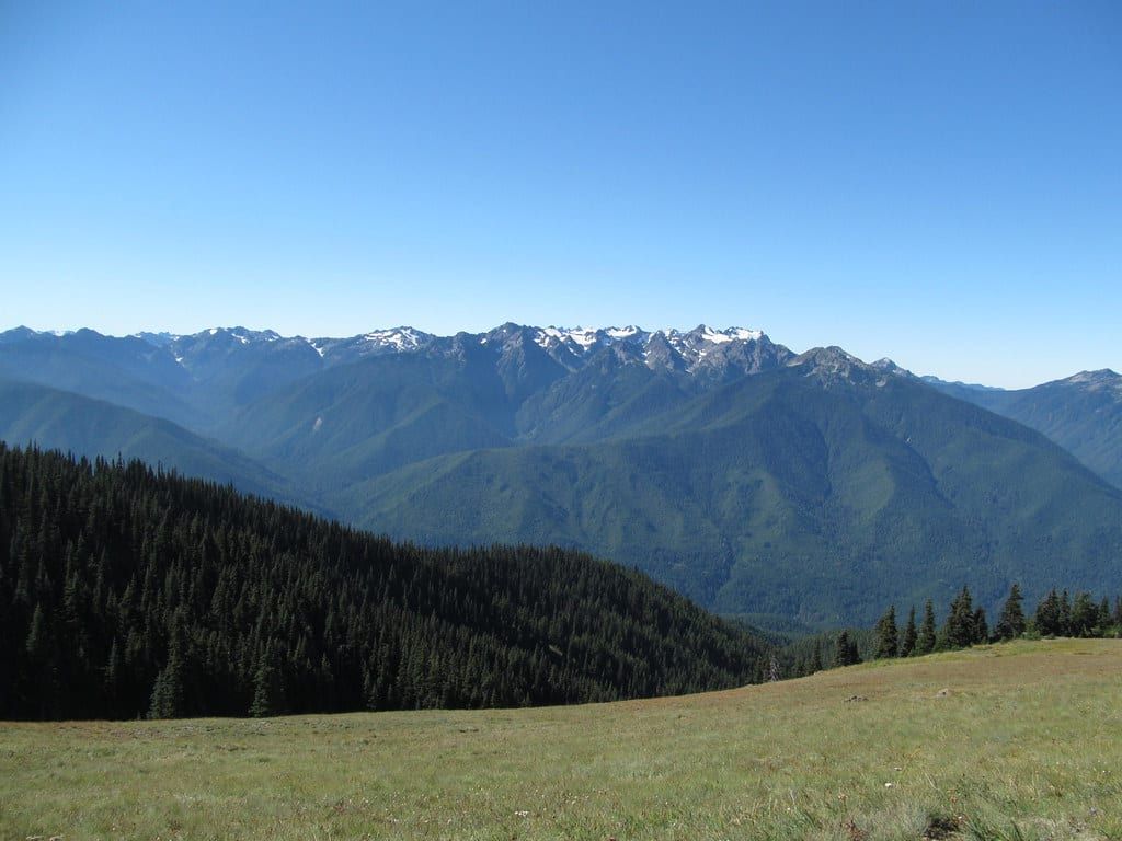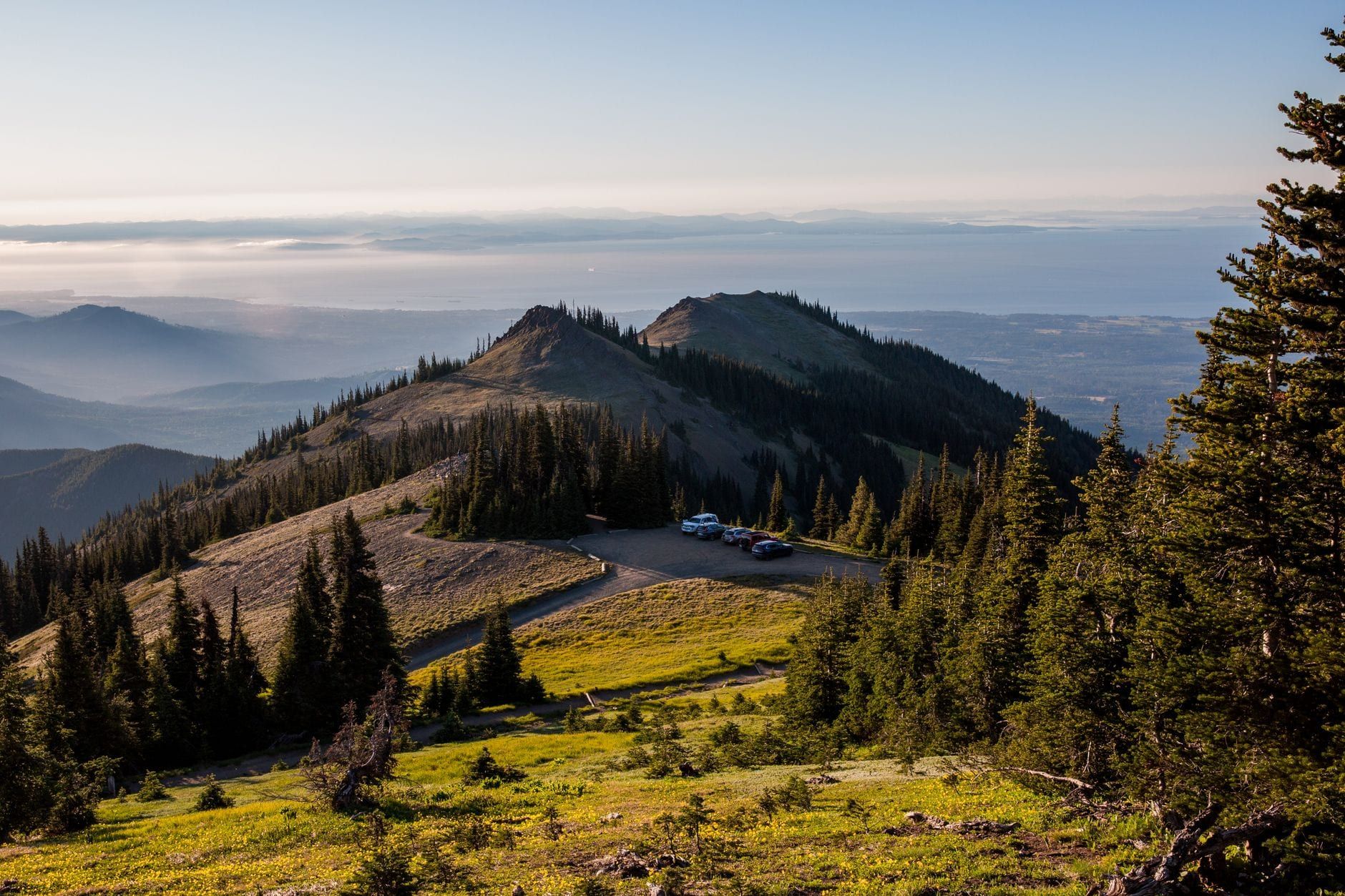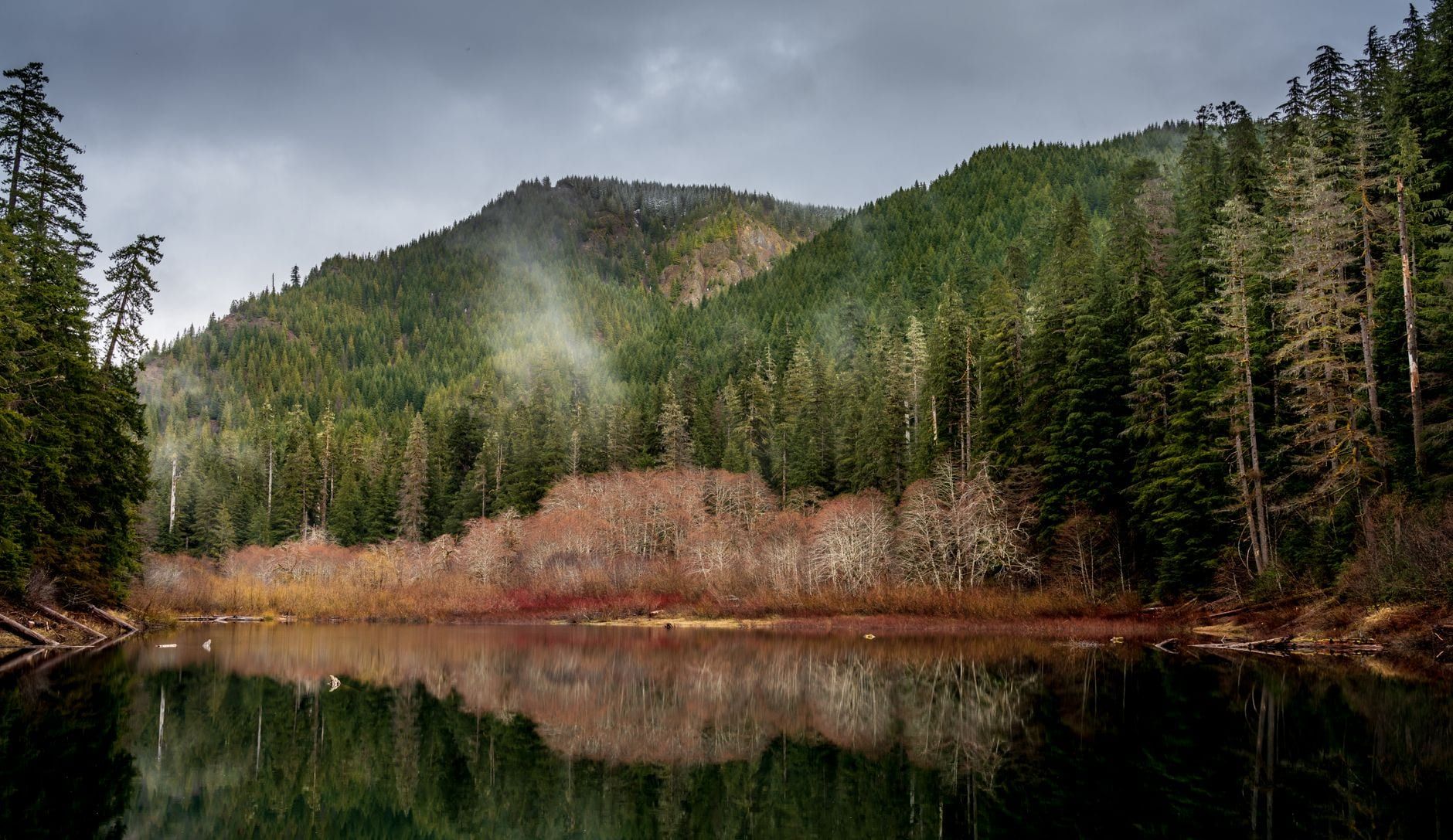
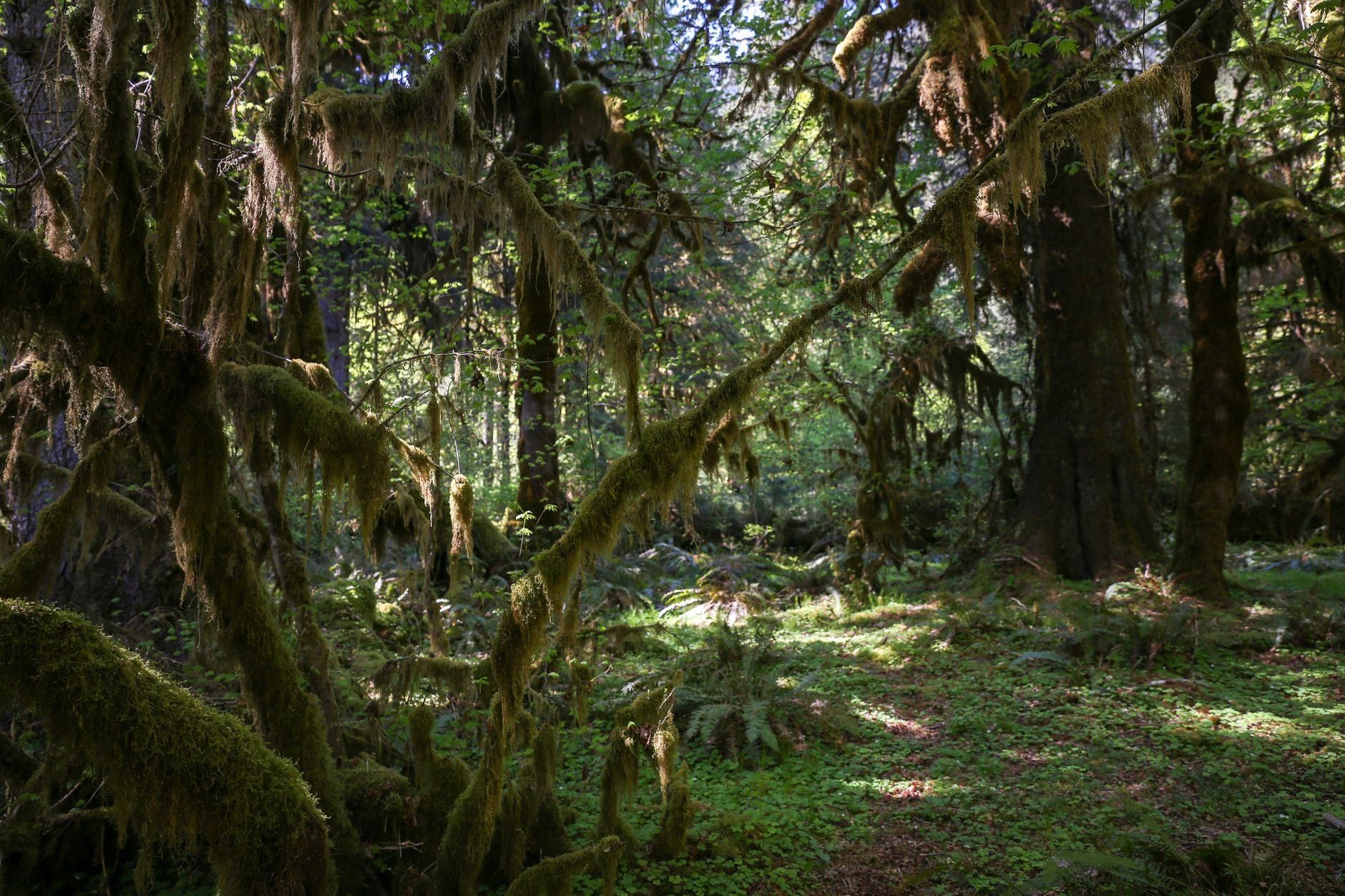
Most national parks give you one landscape. Olympic gives you three, and its trail network stitches them together: you can start a trip under 300-year-old Douglas firs in the Hoh Rain Forest, camp below the glaciers of 7,980-foot Mount Olympus, and finish on a wilderness beach with sea stacks standing offshore in the surf. The park covers 922,650 acres on Washington's Olympic Peninsula, 95 percent of it — 876,447 acres — federally designated wilderness. No roads cross the interior. The only way in is on foot, along 660 miles of trail.
That scale is what makes Olympic a backpacking park rather than a day-hike park with an overnight afterthought. Below you'll find four signature trips — a rainforest-to-glacier march, an alpine lake loop, a waterfall valley, and a coastal traverse — plus the permit system, which trips up more planners than any trail does.
Why Go Backpacking in Olympic National Park
Olympic protects three ecosystems inside one boundary: old-growth temperate rainforest on the western valleys, glacier-capped mountains in the core, and a detached 73-mile strip of wild Pacific coastline. Because no road connects them, the only way to sleep in any of them is to walk in with a tent. A single itinerary can move through all three — one night under moss-draped maples, the next beside an alpine lake, the third on driftwood above the tide line. No other park in the Lower 48 does that.
The backcountry is big enough to lose a weekend in or spend a week crossing. Popular corridors like the Hoh and Seven Lakes Basin see real traffic in August, but the interior's roadless expanse means a two-hour drive from a trailhead can drop you into valleys where you'll count your neighbors on one hand. This guide serves both ends of that spectrum — first-time overnight backpackers choosing a low-commitment route, and experienced wilderness travelers plotting a multi-day traverse. For park history and an overview of what's where, start with our introduction to Olympic National Park.
Olympic Backpacking Routes at a Glance
Four routes cover most Olympic backpacking trips. Here's how they compare before the detail.
| Route | Distance | Days | Difficulty | Region | Permit notes |
|---|---|---|---|---|---|
| Hoh River Trail to Blue Glacier | 37 mi round trip | 3-4 | Strenuous | Rainforest to alpine | Quota sites along the Hoh |
| High Divide / Seven Lakes Basin | ~19 mi loop | 2-3 | Moderate-strenuous | Alpine, Sol Duc | Nearly all sites quota; books out fast |
| Enchanted Valley | 13.5 mi one-way | 2-3 | Moderate | Rainforest valley, Quinault | Quota trial: 30 permits per night |
| Shi Shi Beach to Ozette | 19 mi point-to-point | 2-3 | Moderate | Wilderness coast | Makah permit needed to park at Shi Shi |
Match the trip to your time and legs. First overnight: Enchanted Valley, hiked as an out-and-back — the grade is gentle, water is everywhere, and turning around is always an option. Best long weekend: High Divide/Seven Lakes Basin, a 19-mile loop with lakes, ridgeline views, and a hot-springs soak at the end. For experienced backpackers with a week: the Hoh River Trail to Blue Glacier, or the full 32.8-mile Rialto-to-Shi-Shi coastal traverse for a different kind of hard. Short on time overall? Our roundup of the park's best hikes helps you trade a night out for a strong day walk.
The Best Backpacking Trips in Olympic National Park
Each of these four trips earns its reputation. Each also carries a specific hazard — a rope ladder, a tide window, a quota — that you should know about before booking.
Hoh River Trail to Blue Glacier
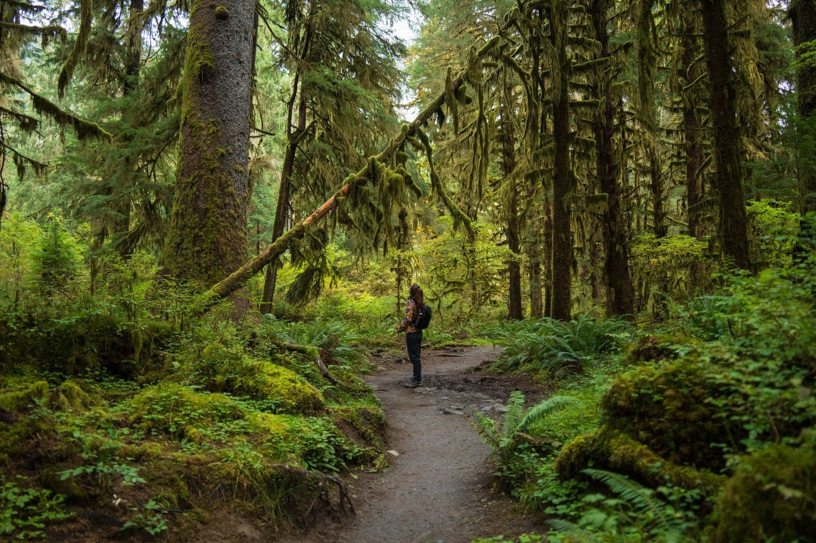
Thirty-seven miles round trip, about 3,700 feet of gain, and a walk from the wettest forest in the United States to the moraines of Blue Glacier. The first 12.4 miles run flat through the Hoh Rain Forest on an old river terrace; the last five to six climb hard to Glacier Meadows at about 4,300 feet, where camp sits beneath Mount Olympus and its ice. Blue Glacier's rubble field is the closest a non-mountaineer gets to the 7,980-foot summit. Budget three to four days, and camp at Lewis Meadows on the way up to break the climb.
The hazard: just before Glacier Meadows the trail crosses a landslide on a long rope ladder. It's fixed and maintained, but it's exposed, wet, and slow with a pack — some hikers hand packs up one at a time. Gloves help. The Hoh's camps are quota sites, so summer permits here go early on April 15.
High Divide / Seven Lakes Basin Loop
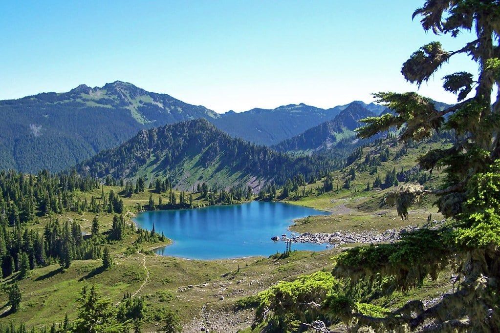
Roughly 19 miles and 4,000 feet of gain from the Sol Duc trailhead, done as a 2-3 night loop that most Olympic veterans call the park's best balance of effort and payoff. The route climbs past Deer Lake to the High Divide ridgeline, then drops into the lake basins — Heart Lake and Lunch Lake hold the best camps — before descending back to the trailhead and, if you time it, the soaking pools at Sol Duc Hot Springs. Mountain goats are regulars on the divide; black bears work the ridge's huckleberry patches in late summer, which is exactly why the food rules here are strict.
Nearly every campsite on this loop is a quota site, and it's the first thing gone on release morning. If you miss out, Flapjack Lakes and Gladys Divide sit a valley over with the same granite-and-lake character and less competition. The ridgeline is also one of the park's better stargazing spots — set an alarm for midnight before you sleep.
Enchanted Valley
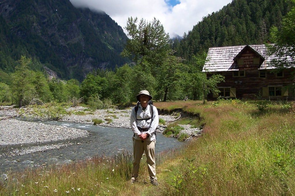
Thirteen and a half miles one-way from the Graves Creek Trailhead up the East Fork Quinault River, with a grade gentle enough that most parties do it as a two-night out-and-back — camp at Pyramids or O'Neil Creek the first night, the valley floor the second. The payoff is a mile-wide meadow walled by 3,000-foot cliffs streaked with waterfalls — the nickname is the Valley of 10,000 Waterfalls — and a 1930s chalet that now serves as a backcountry ranger station. Roosevelt elk graze the meadow; black bears pass through regularly, so cook and store accordingly. Our full Enchanted Valley trail guide covers campsites and the chalet's history in detail.
Two logistics notes. Graves Creek Campground ($20 a night, primitive) sits 0.4 miles from the trailhead — book it for the night before and start early. And since 2024 the valley runs a quota trial capped at 208 users or 30 permits per night, whichever comes first, so summer dates here now vanish like Seven Lakes. Stronger parties can extend into a lasso loop over Anderson Pass and O'Neil Pass.
Shi Shi Beach and the Wilderness Coast
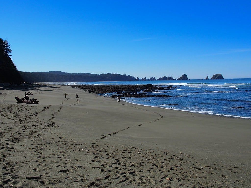
Olympic's coast is backpacking country unlike anywhere else in the park system: 19 miles point-to-point from Shi Shi Beach to Ozette, camping on sand and driftwood below sea stacks, with Point of the Arches — a lineup of rock towers in the surf — 4.3 miles from the Shi Shi trailhead. The classic shorter version is the Ozette Triangle, a 9-mile loop on boardwalk through coastal forest and back along the beach past petroglyphs at Wedding Rocks. For a serious expedition, the full Rialto Beach-to-Shi Shi traverse runs 32.8 miles.
The coast has its own rules. Some headlands are passable only at low tide; others are impassable at any tide and must be bypassed on overland trails, so a tide chart is mandatory kit — pick one up free at a visitor center and plan each day's miles around the windows. Sneaker waves and tsunami hazard are real; know where the evacuation routes are. To park at Shi Shi, which sits on Makah tribal land, you must display a Makah Recreation Permit. Our guide to Olympic's beaches covers the coastal access points if you're weighing options.
If those four don't fit, the alternates are worth a permit attempt. Royal Basin, 18 miles round trip beneath Mount Deception (the Olympics' second-highest peak), is a shorter alpine fix with a small quota. The Grey Wolf-Hurricane Ridge Grand Loop — 43 miles and about 13,000 feet of gain over four mountain passes — suits strong parties who want solitude with their suffering. The Duckabush-Skokomish traverse and the Elwha-to-Quinault Press Expedition route are week-class trips through the park's quiet interior for backpackers who've already done the classics.
How to Get a Wilderness Permit
Every overnight trip in Olympic's backcountry needs a wilderness permit, year-round, booked in advance through Recreation.gov — there is no self-registration at trailheads, and there hasn't been for years. Older guides still tell you to show up at a ranger station; don't build a plan around that. You can book online yourself, call the Wilderness Information Center at (360) 565-3100, or visit a WIC in Port Angeles, Quinault, or Hoodsport.
The mechanics are simple once you know the calendar. Reservations for the summer season (May 15 through October 15) release on April 15 at 7:00 AM Pacific. Popular quota areas — Seven Lakes Basin, the Hoh, Enchanted Valley — sell out that morning, so log in early with your itinerary drafted. Make a reservation more than a week out and the permit is issued about three days before your trip; last-minute trips can pick permits up closer in.
Fees run $8 per person per night for ages 16 and up, kids 15 and under free, plus a flat $6 non-refundable reservation fee per permit. Two adults, four nights: $70. Cancel three or more days before the start date and the camping fees refund — the $6 doesn't. If you'll backpack Olympic more than a few times in a year, the $45 Annual Wilderness Pass covers one person's nightly camping fees for 12 months (still not the $6).
Know the quota areas, because they change how you plan. Sol Duc/Seven Lakes Basin, Royal Basin, Flapjack Lakes/Gladys Divide, Grand and Badger Valleys, Hoh River sites, the Ozette coast, Upper Lena Lake, and Lake Constance are all quota areas — and inside them you must camp where your permit says. Deviating from your itinerary isn't allowed except in emergencies. Since 2024, Enchanted Valley and the East Fork Quinault run a trial cap of 208 users or 30 permits per night.
Outside the quota areas there's more room to move. The Wilderness Information Center can help you book campsites that aren't listed online, plan cross-country routes like the Bailey Range traverse, and tell you what's still under snow in June — worth a call before you commit to any high route early in the season. Their trail conditions page updates through the year; check it, because a June itinerary across a 5,000-foot pass can turn into an ice-axe trip fast.
Rules, Food Storage, and Backcountry Regulations
Bear canisters are required in all wilderness camp areas in Olympic — the whole park, not just the coast and a few basins as older guides claim. Everything with a scent goes in at night: food, trash, toothpaste, sunscreen. Loaner canisters are free from Wilderness Information Centers on a first-come, first-served basis if you show your permit, and the Port Angeles, Quinault, and Hoodsport offices have 24-hour return bins. If the loaners are out, Forks Outfitters and Olympic Outdoor Center rent them.
The rest of the rulebook is short. No dogs and no other pets on any park trail — service animals only — and no mountain bikes in the backcountry. Camp at designated sites and follow your permitted itinerary. Stay at least 50 yards from wildlife, including the elk that will graze through your Enchanted Valley campsite like they own it. Your wilderness permit covers camping, not entry: the park's $30-per-vehicle entrance fee (or an annual or interagency pass) still applies — see our hours and fees rundown for the full fee schedule.
Leave No Trace in a rainforest mostly means managing wet and mud. Pack out trash (including food scraps — the bears work the huckleberry patches, not your orange peels), use the site's privy where one exists, and keep tents on durable ground so you're not carving new patches out of fragile meadow. Cell service across most of the park is spotty to nonexistent, so download offline maps before the trailhead and carry paper as backup. Filter or boil all water — giardia and cryptosporidium are present in coastal streams and rivers, and chemical treatments don't reliably handle crypto.
When to Go: Seasons and Weather in the Olympics
Mid-July through September is the answer most years. High-elevation campsites are only reservable from roughly mid-July to mid-October because that's when the snow actually leaves the passes; before that you're route-finding over white. July and August bring the settled weather and the crowds, and quota sites go fastest. September is the sweet spot: melted out, fewer bugs, fewer people, and the huckleberries and vine maples turning color.
May and June work for valley and coastal routes — the Hoh, Enchanted Valley, the Ozette Triangle — but expect snow above 4,000 feet, streams running high and cold at crossings, and bugs once the warmth arrives. October stretches the season with cooling, wetter weather and progressively shorter days. The dry-ish window overall runs May through mid-October; outside it, this is a serious wet-winter park, and overnight trips become trips for people who know what they're doing.
What makes Olympic strange is the climate spread inside one boundary. The Hoh Rain Forest gets nearly 12 feet of rain a year — the wettest forest in the country — while the peninsula's northeast corner sits comparatively dry in the rain shadow. January average highs run 30°F at Hurricane Ridge, 45°F in the Quinault rainforest, and 46°F at Rialto Beach. You can pick your weather, in other words, by picking your trailhead. Rain is possible any month in any zone, so plan for it regardless; our month-by-month guide has the full breakdown.
What to Pack for Three Ecosystems
Olympic runs from sea level to nearly 8,000 feet, and a single trip can cross all of it — snow, rain, and sun in one day is normal above treeline. Pack for the highest and wettest point on your itinerary, not the trailhead parking lot.
Rainforest kit is about staying dry for days, not hours. A waterproof tent with a full-coverage fly, rain pants and jacket, and a pack liner or dry bags for your sleep system. Footwear that handles mud — trail runners drain and dry faster than boots here. Locals carry umbrellas on valley trails; under a closed canopy, they beat a hood for visibility and they keep rain out of your pack while you hike.
Alpine kit adds insulation and storm-proofing. Above treeline on the High Divide or at Glacier Meadows, a summer storm can drop temperatures 20°F in an hour, so carry a warm layer, hat and gloves, and a shelter you can pitch in wind. Washouts are chronic on Olympic trails, and some are crossed on fixed ladders and rope sections — bring a cheap pair of gloves for the cables and know your limits on exposed, wet rungs with a 35-pound pack.
Coastal kit is tide- and surf-driven. The tide chart is the first thing in the pack. Footwear that can cross slick cobbles and get soaked — many coastal hikers just accept wet shoes. Camp above the highest tide line on driftwood, watch the surf for sneaker waves, and store food where raccoons, ravens, and the occasional bear can't work it — the canister rule applies on the coast like everywhere else.
Whatever the route, budget canister space when you buy food — a week of meals in a bear can forces compact packing, so repackage everything and skip the bulky freeze-dried boxes. Carry a filter or plan to boil, download your maps offline, and leave your itinerary with someone who isn't on the trail.
Frequently asked questions
Do you need a permit to backpack in Olympic National Park?
Yes, for every overnight backcountry stay, in every season. There is no trailhead self-registration — you must book on Recreation.gov, call the Wilderness Information Center at (360) 565-3100, or visit a WIC in advance.
How much does an Olympic wilderness permit cost?
$8 per person per night for ages 16 and up (15 and under free), plus a flat $6 non-refundable reservation fee per permit. Two adults on a 4-night trip pay $70. Cancel three or more days out and the camping fees are refunded, but not the $6.
When do Olympic backpacking permits open for summer?
Summer-season reservations (May 15–October 15) are released on April 15 at 7:00 AM Pacific on Recreation.gov. High-elevation campsites are bookable only for roughly mid-July through mid-October. Popular quota areas sell out on release morning.
Are bear canisters required in Olympic National Park?
Yes — bear canisters are required in all wilderness camp areas, park-wide, not just on the coast or in a few basins. Free loaners are available at Wilderness Information Centers with your permit; Forks Outfitters and Olympic Outdoor Center rent them.
Can you backpack the Olympic coast, and do you need a tide chart?
Yes, and a tide chart is mandatory kit. Some headlands are passable only at low tide; others are impassable at any tide and require overland bypass trails. Parking at Shi Shi Beach, on Makah tribal land, also requires a Makah Recreation Permit displayed in your vehicle.
What is the best month to backpack in Olympic National Park?
Mid-July through September in most years: snow-free high country, drier weather, and melted passes. July and August are busiest; September adds fall color and fewer bugs. Rain is possible any month — parts of the park get nearly 12 feet a year.
Are dogs allowed on backpacking trips in Olympic?
No. Pets are banned from all park trails (service animals excepted), and mountain bikes are prohibited in the backcountry. If you're traveling with a dog, stick to the few designated pet-friendly areas, campgrounds, and roads.
Can you camp anywhere in Olympic's backcountry?
No. You must camp at designated backcountry sites and follow your permitted itinerary; in quota areas, deviating from the itinerary isn't allowed except in emergencies. The Wilderness Information Center can help you plan trips in areas with more flexibility.