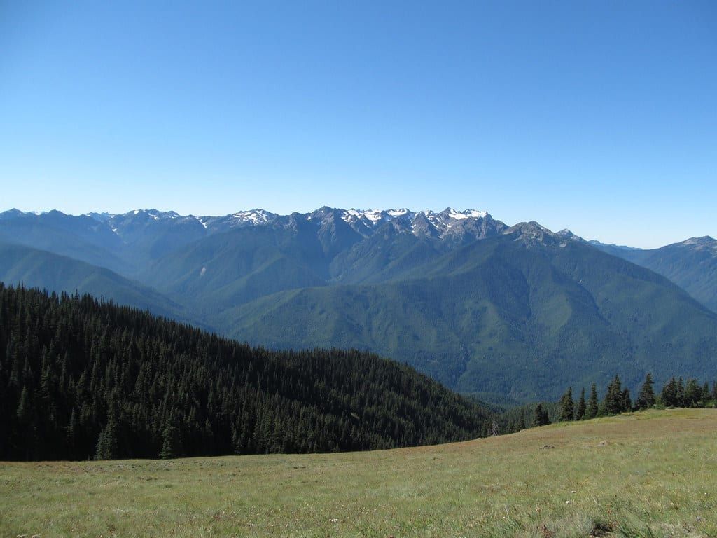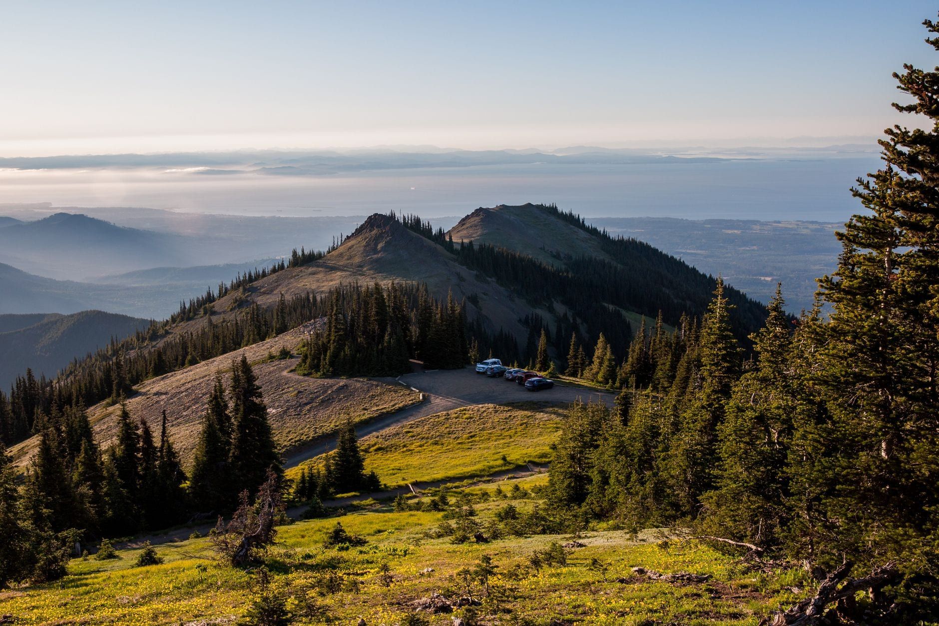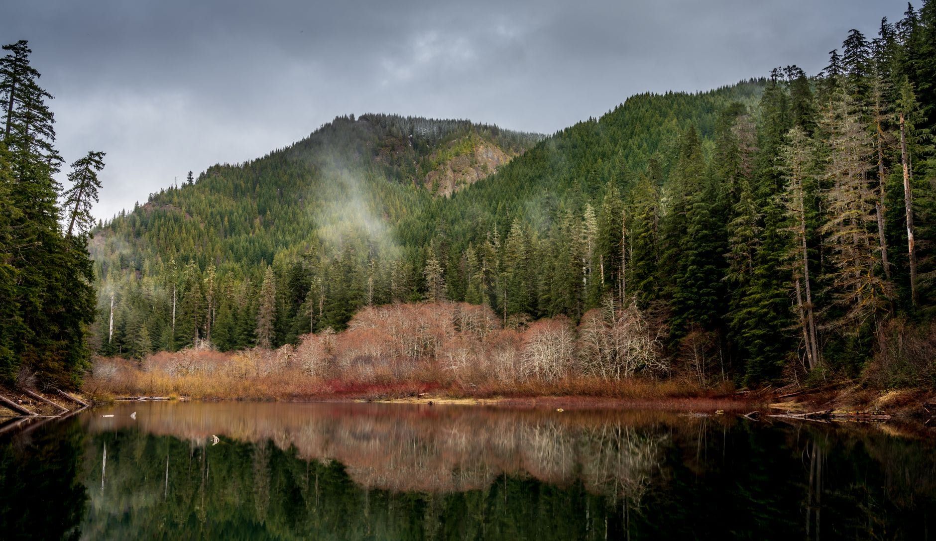
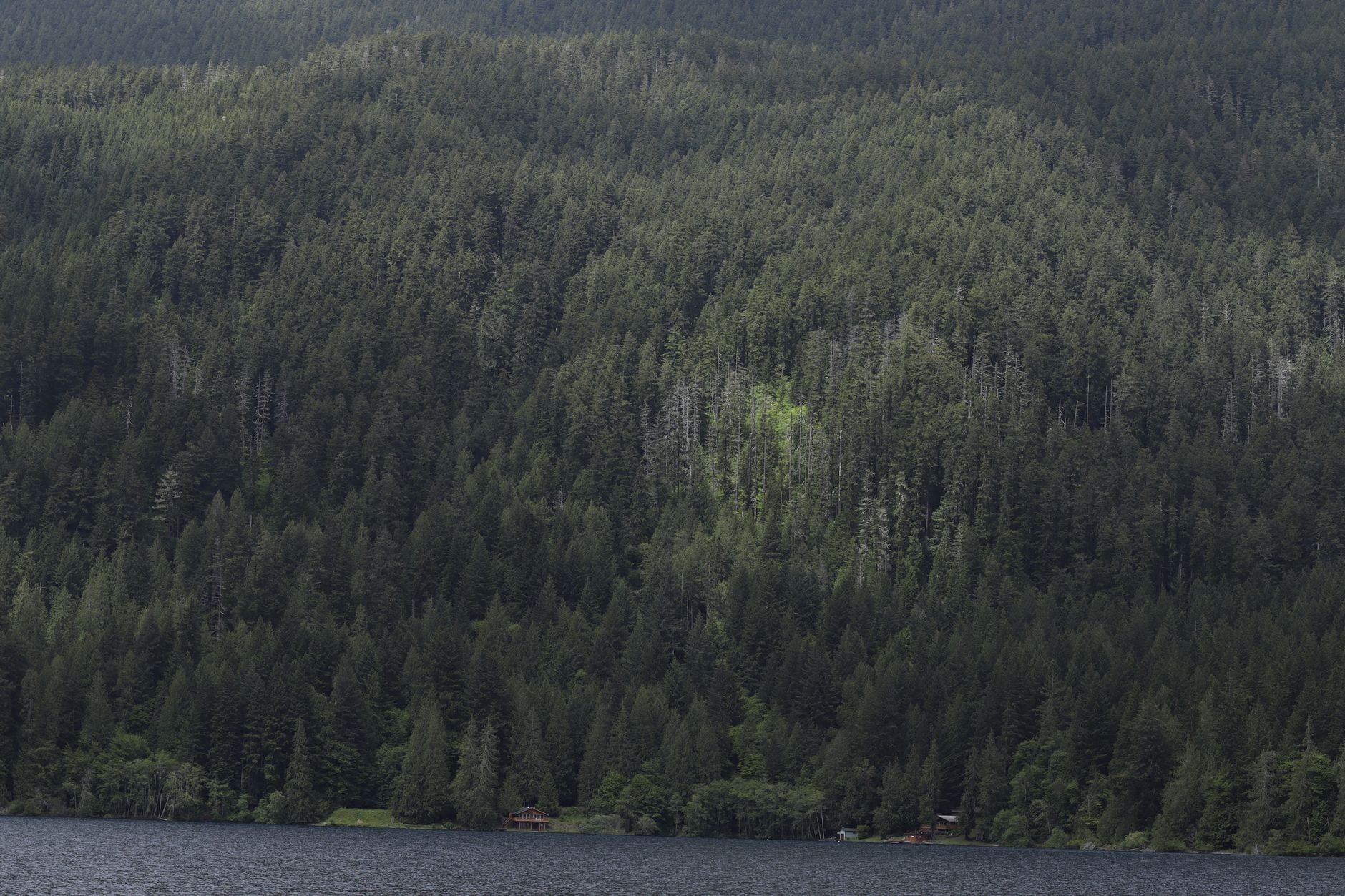
Enchanted Valley is a 13-mile, one-way backpack into a glacier-carved cirque in the southeast corner of Olympic National Park, and it earns the name: a broad meadow ringed by cliffs roughly 3,000 feet tall, a 1930s chalet resting on steel beams, waterfalls pouring off the walls in spring, and black bears grazing the grass. Most people walk it as a 2-3 day out-and-back from the Graves Creek Trailhead above Lake Quinault. Of all the best hikes in Olympic National Park, this is the classic first big backpacking trip, because the terrain stays gentle — deep-wilderness payoffs without the knee-wrecking climbs of most Olympic alpine routes.
What Is Enchanted Valley, and Why Is It Worth the Trek?
Enchanted Valley sits at the head of the East Fork Quinault River, in one of the park's three major temperate rain forest valleys, in a remote southeast corner reached only after a long drive around Lake Quinault. From the Graves Creek Trailhead the East Fork Quinault River Trail gains just 1,700 feet over 13 miles — gentle by Olympic standards, and the reason so many people cut their Olympic backpacking teeth here. You trade sweat for time: the payoff arrives slowly, through old-growth hemlock and spruce, rather than in one grinding climb.
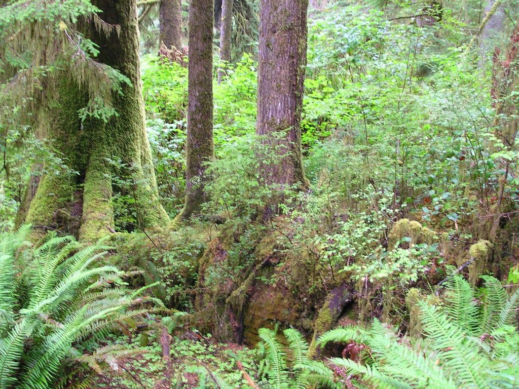
Rain defines the place. The valley floor receives over 11 feet a year, roughly four times Seattle's, which is why rain gear is non-negotiable even in August. All that water feeds a cathedral-like forest for most of the walk and then, in spring and early summer, sends countless waterfalls and avalanche chutes streaming down the sheer walls of the cirque. The final meadow — a large alpine bowl ringed by cliffs — is where the wildlife gathers, and most overnighters see at least one black bear in it.
The numbers at a glance: 13 miles one way (13.5 to the chalet itself), moderate difficulty, maintained trail, typically 2-3 days. Is it worth a multi-day commitment from a remote trailhead? If you want big wilderness scenery, a historic building, and reliable wildlife without technical terrain — yes, and few places in the park deliver all three on one trail.
Enchanted Valley Chalet: History, the 2014 Rescue, and Why You Can't Go Inside
The chalet is closed — boarded up, no entry, period — and it's still the most photographed building in the Olympic backcountry. Built in 1930-31 by the Olympic Recreation Company as a backcountry lodge for hikers and horseback parties, it operated as a mountain retreat until the Park Service bought it in 1939. During World War II it served as an Aircraft Warning Station, with observers scanning the skies above the rain forest. The Olympians Hiking Club helped fund an extensive renovation in 1983-84, and in 2007 the building was added to the National Register of Historic Places.
Then the river came for it. By January 2014 the East Fork Quinault's main channel had migrated to within 18 inches of the chalet's foundation — one winter storm from undercutting the whole structure. That September a house-mover's crew relocated the building about 100 feet back from the bank. The job took most of a week and nearly two dozen helicopter flights, ferrying steel beams, hydraulic pumps, and a generator into designated wilderness. It was the least-intrusive fix available, and no permanent one has followed.
So the chalet still sits on those steel beams, with no permanent foundation beneath it. Today it occasionally serves as a wilderness ranger station and emergency shelter, and otherwise as scenery. You camp in the meadow beside it, photograph it in morning light, and stay outside. That's the whole arrangement — and honestly, the photos from the meadow edge are better than anything you'd get from a doorway.
Trail Stats and the Route, Mile by Mile
Official numbers first: 13 miles from Graves Creek to Enchanted Valley, 1,700 feet of elevation change, moderate, maintained trail, best season May through September. In practice the route measures 13.5 miles to the chalet — 26-28 round trip — and the rolling tread means about 3,400 feet of total climbing even though the net gain is small. You start around 700 feet, top out around 1,700, and never hold either for long. The honest verdict: moderate but long.
The trail stays within earshot of the river for roughly 80% of the route, so water is plentiful the entire way. Milestones to navigate by:
- Graves Creek Trailhead — the start, at roughly 700 feet
- Pony Bridge, 2.5 miles — a footbridge over a dramatic gorge; first camp
- O'Neil Creek Camp, 6.7-7.5 miles — the popular midpoint camp
- No Name Creek at 8 miles (Fire Creek comes at about 4)
- Pyrites Creek, 9.5-10 miles — 12 sites across both banks
- Valley gate, about 12.8 miles — the trail bends into the open cirque
- Quinault River bridge (20 feet high), then the chalet at 13-13.5 miles
Terrain-wise, expect rolling old-growth tread, riverside walking, and the gorge views at Pony Bridge as the early highlight. Conditions vary: one recent trip counted at least ten downed trees, all passable, plus mud after rain; creek crossings have sturdy footbridges. Before you drive out, download offline maps or a GPX track and check the NPS trail-conditions page — you'll lose signal well before the trailhead, and downed-tree reports change weekly.
How Many Days You Need: Itineraries and Where to Camp
Two nights is the right answer for most people. But the trail supports everything from a five-mile stroll to a four-day trip with high-country side hiking, so match the plan to your fitness and your calendar.
The permit-free sampler: Pony Bridge
Not ready to commit 27 miles? Walk 2.5 miles to Pony Bridge, where the trail crosses a gorge on a footbridge, and turn around. Five miles round trip, no wilderness permit needed for day use, and you can sleep at Graves Creek Campground ($20 a night) a quarter mile from the trailhead. You'll see rain forest and a river gorge, not the valley itself — a taste rather than the meal, but a genuine one.
The 26-27 mile day hike
Possible, and most people shouldn't. Strong, fast hikers do the whole out-and-back between a dawn start and headlamp, on terrain that rolls constantly. No permit is required for day use, which is part of the appeal. If you go for it, set a turn-around time at the chalet and honor it — the last five miles out are where slow days turn into headlamp days.
| Day hike | Two-night backpack | |
|---|---|---|
| Distance | 26-28 miles in one push | Split into ~10, 3.5, and 13.5-mile days |
| Permit | None for day use | $8/person/night + $6 fee, quota-capped |
| Time in the valley | An hour or two, midday | A full afternoon, evening, and morning |
| Wildlife odds | Low-moderate — you pass through at speed | High — bears and elk feed at dusk and dawn |
| Physical toll | Brutal; ~3,400 ft of rolling climbing in a day | Manageable for reasonably fit hikers |
One night in the valley
Fit hikers can camp at Enchanted Valley both directions: a 13-mile day in, a 13-mile day out. It works, but you arrive mid-afternoon and leave early, which shortchanges the exact hours — dusk and dawn — when the meadow is at its best. Choose this only if the calendar, not the experience, is driving the trip.
Two nights: the classic plan
Camp at Pyrites Creek the first night (about 10 miles in, nicer sites than the mid-trail options), walk the final 3.5 miles to the valley on day two, and spend a full afternoon and evening with the chalet, the waterfalls, and the bears. Day three is the long one — 13.5 miles out — but it's mostly gentle and you'll finish by late afternoon. This is the itinerary to copy.
Three nights: add Anderson Pass
With a third night, spend a full day hiking toward Anderson Pass: 5.2 miles and a 2,500-foot ascent from the valley to the 4,465-foot pass, with Anderson Lake another 1.25 miles and 1,000 feet up. Treat this as a day hike from a valley camp — roughly 10 added miles. Two cautions from the Park Service: the trail above 3,500 feet holds snow from November into June and crosses avalanche terrain, and the White Creek ford can be hazardous. Go in late summer or skip it.
Wherever you sleep, know what each camp offers:
| Camp | Mileage | Privy | Best use |
|---|---|---|---|
| Pony Bridge | 2.5 | Yes | Gorge setting; too close to the trailhead for most trips |
| O'Neil Creek | ~7 | Yes | Popular midpoint; splits the walk in half |
| Pyrites Creek | ~10 | No | Quieter, nicer sites; the classic night-one stop |
| Enchanted Valley | 13.5 | Two privies | The destination — spread-out sites in the meadow |
Permits reserve camp areas, not numbered sites — tent spots are first-come, first-served once you're there, and rangers routinely check permits on trail. Expect company: the corridor's quota still allows up to 200-plus overnight users per night, so summer weekends fill the valley's sites and social scene alike. Midweek and shoulder-season trips are noticeably quieter, and the valley earns its name better without a crowd.
Wilderness Permits, Quotas, and Costs
Day hikers need nothing beyond the park entrance fee. Anyone camping overnight needs a wilderness permit for every night, reserved through Recreation.gov's Olympic National Park wilderness permitting pages: pick your dates, filter for the Quinault area, and choose a camp area for each night as you go. Groups max out at 12. Permits cost $8 per person per night (ages 16 and up; kids 15 and under are free) plus a $6 non-refundable reservation fee — cancel more than three days out and you're refunded everything except that $6.
The part older guides miss: since 2024, the East Fork Quinault River Trail and Enchanted Valley have been managed as quota areas on a trial basis running up to three years, capped at 30 permits or 208 users per night, whichever hits first. Summer-season inventory (May 15 through October 15) releases on April 15. For July and August weekends, book that morning; otherwise watch the calendar for cancellations, which happen constantly once forecasts firm up.
The full cost picture for a two-night trip, per person, assuming a shared car:
- $30 per vehicle entrance fee, valid 7 days (an $80 America the Beautiful pass covers it)
- $8 per person per night wilderness permit, ages 16+
- $6 reservation fee per permit, non-refundable
- $20 per night at Graves Creek Campground ($10 seniors); no potable water there
- Bear canister rental: free
For a deeper rundown of what the park charges and when, see our guide to Olympic's hours and fees. The canister, worth repeating, rents free at the Quinault Rain Forest Ranger Station from Memorial Day through September 30.
Getting to the Graves Creek Trailhead
From Seattle, budget about 3.5 hours and 165 miles, driving I-5 and Highway 8 to Highway 101 — a route with no tolls and no ferries. The nearest town is Quinault, on the lake's shore; from Portland, count on roughly five hours north. Full route options, including ferry alternatives, are in our guide to getting to Olympic National Park.
Past the lake, South Shore Road runs to its end at the trailhead, and the final 12 miles are well-kept gravel that passenger cars handle fine in dry conditions. The catch is water: this road floods and washes out in heavy rain, and it has closed for washouts before, sending hikers around via North Shore Road. Check the current road status the day before you drive — an unexpected detour adds real miles.
The trailhead lot fills on summer weekends, with cars parking a quarter mile down the road. The simplest fix is booking a night at Graves Creek Campground — a quarter mile from the trailhead — so you start at dawn with the lot to yourself. Lake Quinault also has other campgrounds and lodges, including the historic 1926 Lake Quinault Lodge, if you want a bed and a hot meal on either side of the trip.
When to Hike Enchanted Valley: Season by Season
The practical window runs May through October, with the Park Service listing best season as May through September. Within that, the months trade water for warmth — pick what you're here for.
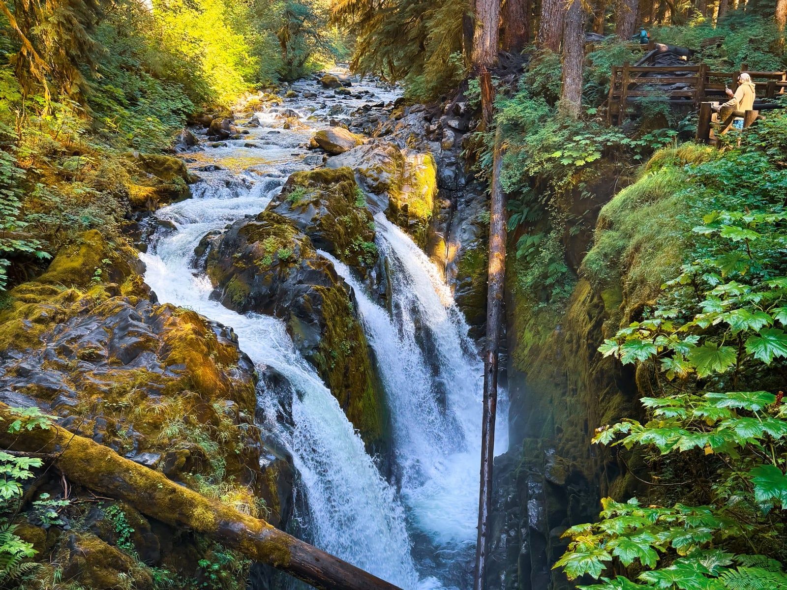
May and June bring the waterfalls. Snowmelt sends the valley walls streaming, and the show is the reason many people come — but the East Fork Quinault runs high and fast during snowmelt, and May trips trade spectacle for mud. The valley floor itself is usually snow-free by then. July and August flip the script: the driest, warmest months, and the busiest, with full campsites on weekends.
August and September are the sweet spot for many: huckleberries ripen, bears come out to eat them, and crowds thin after Labor Day. The trade is wildfire smoke, which can settle into the river valleys in bad fire years — check the air quality forecast along with the weather. October is quieter still, but wetter, with shorter days; by November the heavy rain returns.
One quirk worth knowing: the valley often clears even when the trailhead sits under gray. Rangers report blue skies in the cirque on days the low country never sees, and one June trip logged low-80s afternoons with 60s at night. Pack rain gear regardless — 11 feet a year doesn't take summers off. And if you're fitting this trip into a bigger park plan, our month-by-month guide to Olympic covers the rest of the park's seasons.
Bears, Water, and Trail Etiquette in the Quinault Backcountry
This trail concentrates everything Olympic's wilderness rules exist for: food-habituated bears, untreated river water, and a meadow that dozens of people camp in every summer night. Get the rules straight before you go and the backcountry takes care of itself.
Black bears and the canister rule
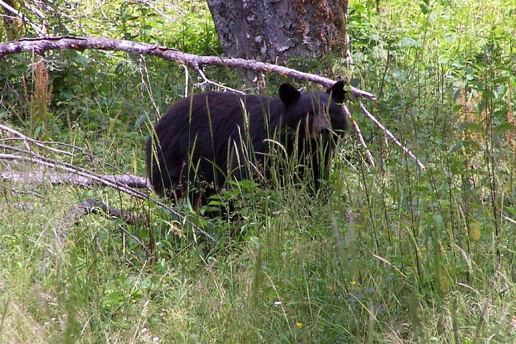
Enchanted Valley is active bear country — the meadow is prime berry habitat, and most overnighters see at least one. The rule is strict and simple: all food, garbage, and scented items go in a bear canister 24 hours a day while you're in the valley, and hanging food is prohibited. Rent a canister free at the Quinault Rain Forest Ranger Station between Memorial Day and September 30; there's no excuse not to carry one.
Encounters here are usually calm. These black bears are habituated to hikers and generally mellow: stop, give the animal space, make calm noise, and don't run. Give every bear at least 50 yards. Carry bear spray if it steadies your nerves — most people never come close to needing it, and nearly everyone comes home with a story.
Elk and the rest of the wildlife
Olympic holds 3,000-4,000 Roosevelt elk, bulls pushing 1,000 pounds, and the Quinault valleys are among the best places to find them — early morning, in the meadow. Mule deer, beaver, and river otter share the drainage. Our broader Olympic wildlife guide covers where and when to look across the park, but the same rule applies everywhere: 50 yards minimum, and back away if an animal closes the distance itself.
Water, toilets, fires, and dogs
River water is everywhere on this trail — treat it with respect in both directions. Drink nothing unfiltered: the East Fork carries Giardia, so boil, filter, or chemically treat everything. Pit toilets stand at Pony Bridge, O'Neil Creek, and Enchanted Valley; anywhere else, bury waste 6-8 inches deep and 200 feet from water and campsites, and pack out your toilet paper. Campfires are allowed only below 3,500 feet, using dead and down wood — the valley's sites sit low enough to qualify, but keep fires small or skip them.
Dogs are not allowed on this trail or anywhere in the park's wilderness, leashed or not. Carry the 10 essentials, leave a trip plan with someone who isn't hiking, and watch the sky — storms move fast off the Pacific, and the trailhead forecast lies about the valley half the time.
Frequently asked questions
Can you hike to Enchanted Valley in one day?
Yes, for a small minority. It's roughly 26-27 miles round trip on rolling terrain — about 3,400 feet of total climbing — so it takes a strong, fast hiker with a dawn start. No permit is needed for day use, but the Park Service calls this a 2-3 day out-and-back, and most people should treat it that way.
Do you need a permit to hike to Enchanted Valley?
Only if you're staying overnight. Permits cost $8 per person per night plus a $6 non-refundable reservation fee via Recreation.gov. Since 2024 a trial quota caps the East Fork Quinault and Enchanted Valley corridor at 30 permits or 208 users per night; summer-season permits (May 15-Oct 15) release April 15.
What is the best month to hike Enchanted Valley?
July and August are the driest and warmest. June delivers peak snowmelt waterfalls but high, fast rivers; August and September bring berries, active bears, and some wildfire-smoke risk; October is quieter but wetter. The NPS lists the best season as May through September.
Are there bears in Enchanted Valley?
Yes — black bears are frequently seen grazing the valley meadow, which is prime berry habitat. Bear canisters are required there 24 hours a day and hanging food is prohibited. Free canister rentals are available at the Quinault Rain Forest Ranger Station from Memorial Day through September 30.
Can you go inside the Enchanted Valley Chalet?
No. Built in 1930-31 as a backcountry lodge and later a WWII Aircraft Warning Station, the chalet was listed on the National Register of Historic Places in 2007 and moved about 100 feet from the eroding riverbank in September 2014. It's boarded up now, occasionally used as a wilderness ranger station and emergency shelter.
How hard is the Enchanted Valley hike?
Physically moderate but long. The net gain is only about 1,700 feet on maintained trail, but the trail rolls constantly — roughly 3,400 feet of total climbing by GPS measures — across 13 miles each way. Distance, not steepness, is the challenge.
How do you get to the Enchanted Valley trailhead?
Drive about 3.5 hours and 165 miles from Seattle via Highway 101, then follow South Shore Road around Lake Quinault to its end — the last 12 miles are gravel but passable by passenger cars. Watch for washout closures (North Shore Road is the detour), and gas up and download maps before cell service dies near the Quinault Ranger Station.
Is Enchanted Valley crowded?
Busier than its remoteness suggests. The overnight quota still allows up to 208 users per night, summer weekends fill the campsites, and trailhead parking overflows onto the road. Midweek and shoulder-season trips are noticeably quieter.
Sources
- nps.gov/olym/planyourvisit/east-fork-quinault-river-trail.htm
- nps.gov/olym/planyourvisit/wilderness-reservations.htm
- nps.gov/olym/learn/news/enchanted-valley-chalet-relocated.htm
- preservewa.org/most_endangered/enchanted-valley-chalet
- en.wikipedia.org/wiki/Enchanted_Valley_Chalet
- recreation.gov/permits/4098362