Five days is the right length for Olympic National Park. It's enough to see all three of the park's ecosystems — glacier-capped mountains, temperate rain forest, and 73 miles of wild Pacific coast — at a pace that doesn't have you living in the car. The catch is geography: no roads cross the 922,651-acre interior, so every trip is a loop around Highway 101 with daily spur roads branching off it.
This itinerary runs the loop clockwise from Seattle, sleeping in two bases so you're never backtracking. It also handles the logistics most guides skip: what you'll pay, which walks depend on the tide chart, and what to cut if your trip shrinks to four days.
The 5-Day Olympic Loop at a Glance
Roughly 922,650 acres and 660 miles of trail sit inside this park, and 95 percent of it is roadless wilderness you can only reach on foot. A five-day trip cannot cover the whole park — nobody's does. What five days does cover is every marquee stop on the northern and western loop: the alpine views at Hurricane Ridge, the Lake Crescent lowlands, the Hoh Rain Forest, and the best beach strip on the Pacific side.
Here's the whole trip in one screen, with the nightly base that keeps each morning's drive short.
| Day | Focus | Sleep |
|---|---|---|
| 1 | Hurricane Ridge, Hurricane Hill, evening in Port Angeles | Port Angeles |
| 2 | Lake Crescent, Marymere Falls, Sol Duc Falls and hot springs | Port Angeles |
| 3 | Rialto Beach and Hole-in-the-Wall, one La Push beach, Forks | Forks |
| 4 | Hoh Rain Forest, Ruby Beach, the Kalaloch coast | Kalaloch Lodge or campground |
| 5 | Merriman Falls, big trees, the Quinault loop, drive to Seattle | Home (or Lake Quinault) |
Is five days the right length? For a first visit, yes. Three days is the honest minimum for all three ecosystems, and it means rushing; five lets you add a real hike or two and absorb some weather. If you only have a weekend, our two-day Olympic plan trims the trip to Hurricane Ridge, Lake Crescent, and one beach.
Losing a fifth day? Cut the Quinault side and drive home from Kalaloch — you lose roadside Merriman Falls and the record trees, nothing else. Gaining a sixth day is more fun: it unlocks one of the north-coast extras near Neah Bay, covered later in this guide, or a second beach day with an overnight on Shi Shi Beach.
The loop runs clockwise — Hurricane Ridge first, then west and south — because the Seattle-side ferries and the Tacoma route both land you nearest Port Angeles, and the ridge's morning visibility is worth catching on day one while your schedule is still flexible.
Know Before You Go: Fees, Passes & Best Time
Entry costs $30 per private vehicle, valid for 7 consecutive days, with motorcycles at $25 and walk-in or bicycle entries at $15. The park-specific annual pass is $55, and the $80 America the Beautiful pass covers every national park for a year. No reservation is required to enter — you pay at the gate or show a pass. Full details on hours and entrance fees are on our logistics page.
In 2026 the National Park Service expanded its fee-free days to eight: Presidents Day, Memorial Day, Flag Day, the July 4 weekend, the NPS anniversary in August, Constitution Day, Theodore Roosevelt's birthday, and Veterans Day. Those dates save you the entrance fee but draw the biggest crowds of their weeks, so treat them as a trade, not a bargain.
Two other passes matter on this itinerary. Camping runs $15–24 a night depending on the campground and season, and the popular ones — Hoh, Kalaloch, Fairholme, Mora, Sol Duc, and Staircase — require reservations through recreation.gov during peak season. Book those months ahead for summer. Backcountry nights need a wilderness permit at $8 per person per night plus a $6 reservation fee per permit, reserved through recreation.gov as well.
If you add Cape Flattery to your trip, budget another $20 for the Makah Recreation Pass, required to park on the Makah reservation at Neah Bay. It's sold separately from any park pass.
Timing: June through September is the reliable window, with the most roads open and daylight stretching from roughly 5 a.m. to 10 p.m. near the solstice. July and August are the busiest — Hoh entrance waits can run an hour or more once lots fill. September is the sweet spot: similar access, thinner crowds, and spawning salmon in the Sol Duc River. Rain is possible in any month; the Hoh gets almost 12 feet of it a year. In winter the Hurricane Ridge road typically runs Friday through Sunday for snowshoeing and skiing. Our month-by-month guide breaks this down in detail.
Getting There & Getting Around
From Seattle you have two roughly equal routes to Port Angeles. The state ferry from Colman Dock to Bainbridge Island takes 35 minutes and turns the drive into a scenic crossing; total time to Port Angeles is about three hours. Driving south through Tacoma, up SR 16 to Bremerton, and across the Hood Canal Bridge takes about 2 hours 45 minutes — but the bridge opens periodically for boat traffic, so the ferry is often the safer bet for a tight schedule. From Sea-Tac airport, figure on 2.5 to 4 hours depending on route and ferry waits. We cover routes and transport options in full here.
You need a car. There is no cross-park transit, the interior has no roads at all, and every day of this itinerary involves 1.5 to 3 hours of driving. Use the park's official mileage chart to budget drive times, because distances on the peninsula deceive — the Hoh is only about 55 miles from Port Angeles as the raven flies, but the road route runs far longer.
One partial exception: Clallam Transit runs a seasonal shuttle from Port Angeles up to Hurricane Ridge from late May through early September, useful if you'd rather not drive the mountain road yourself.
For lodging, use the two-base strategy. Nights one and two in Port Angeles put you within striking distance of Hurricane Ridge, Lake Crescent, and Sol Duc. Nights three and four in Forks (or a Kalaloch cabin for night four) put you 30–45 minutes from the beaches and the Hoh. Moving once kills the backtracking that ruins single-base Olympic trips — staying in Port Angeles the whole time means a four-hour round trip to the rain forest.
Stock up in Port Angeles before day three; Forks has a full supermarket (the Thriftway), but the Hoh valley has only a small cafe and store, and the Kalaloch-Quinault stretch has almost nothing.
Day 1: Hurricane Ridge & Port Angeles
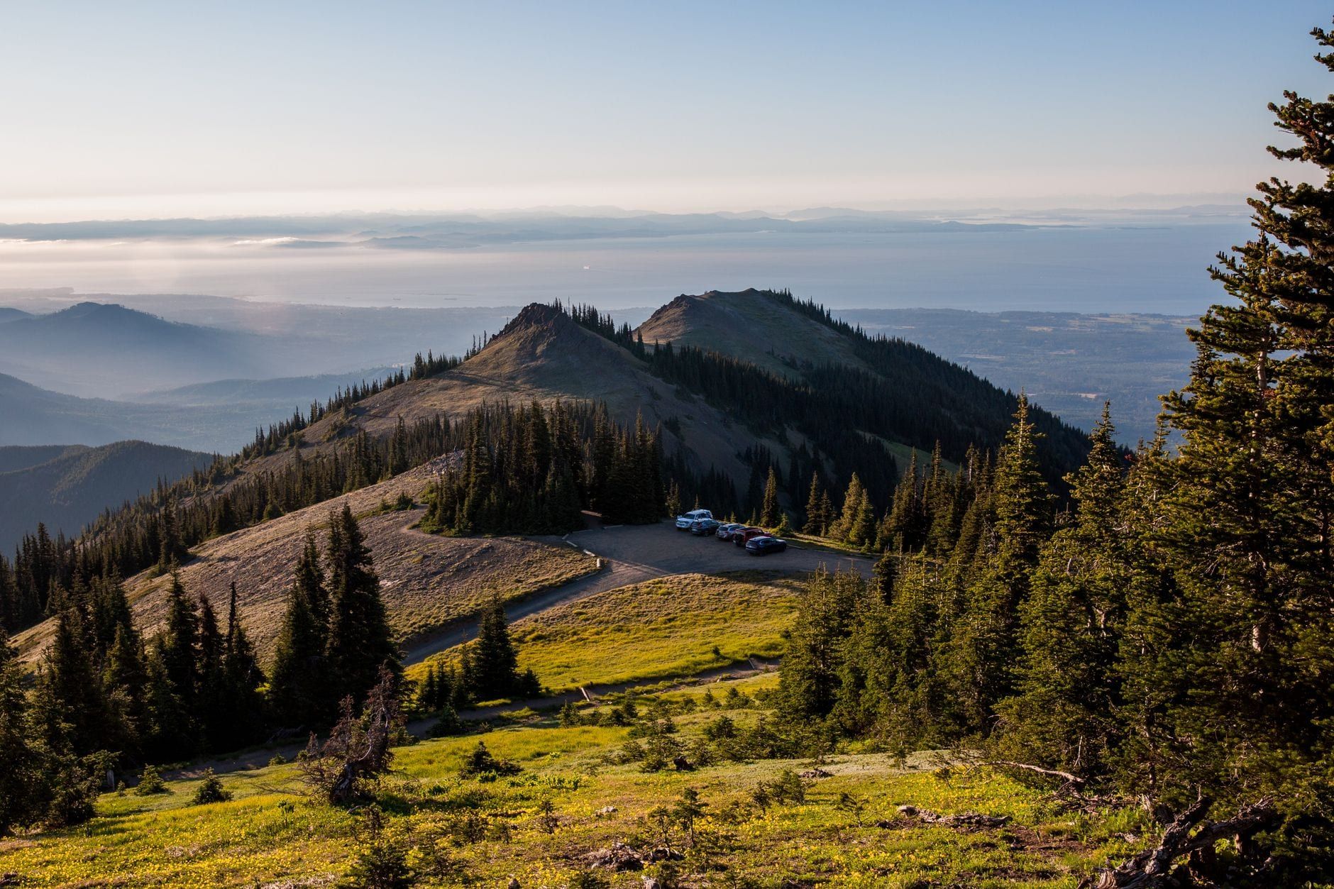
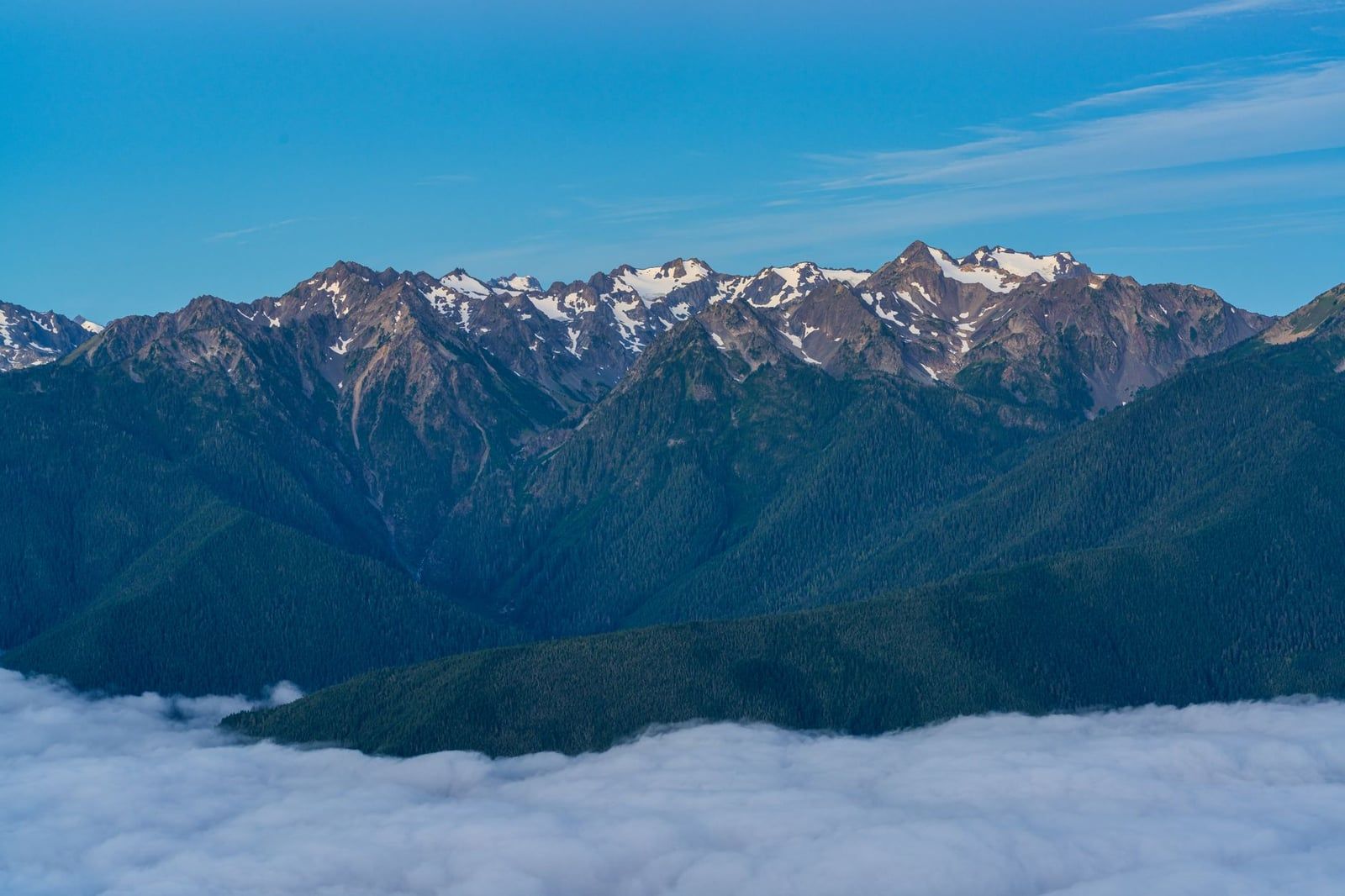
Go up the ridge road early. It's 18 miles from Port Angeles to the visitor center, and morning gives you both the parking and the visibility — the Olympics build their own clouds by afternoon, and a ridge socked in at 2 p.m. is a common outcome. Before you drive up, check the NPS current-conditions page or stop at the visitor center in town: Hurricane Ridge access has been affected by closures and capacity limits recently, and the road can shut in bad weather any month of the year.
Hurricane Hill
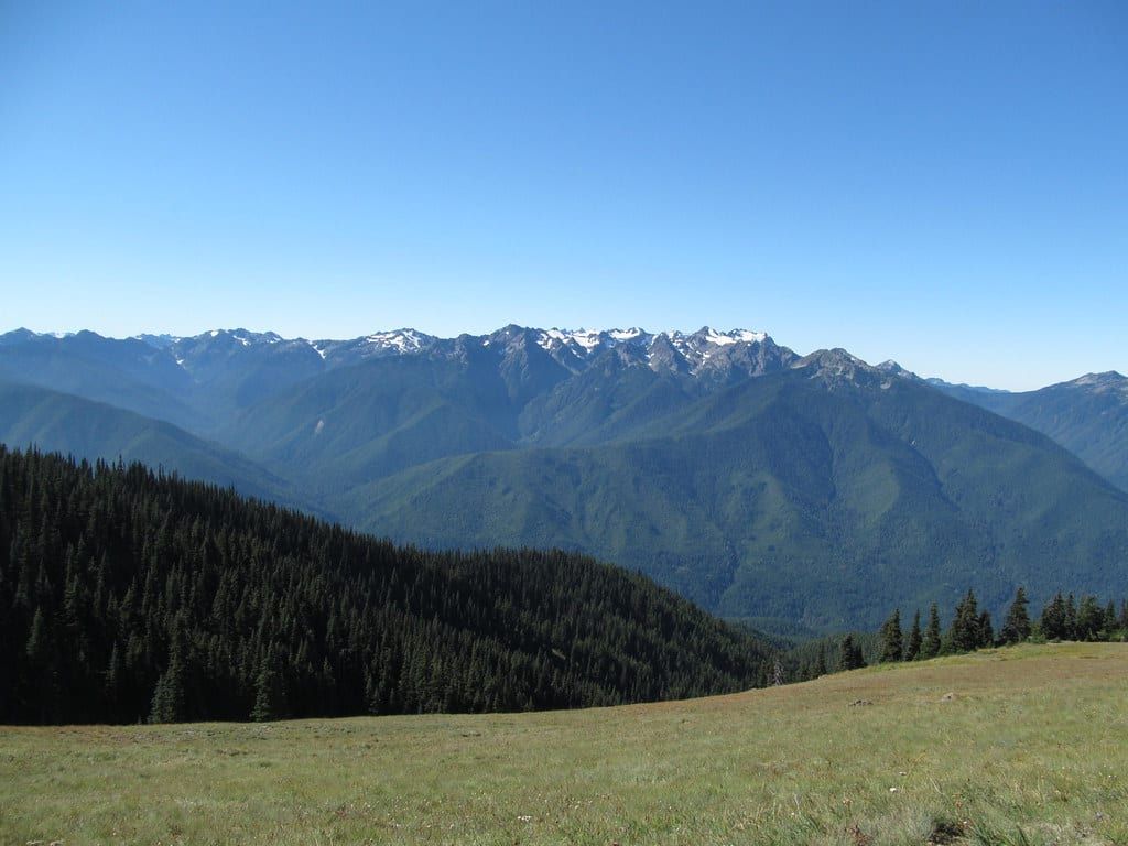
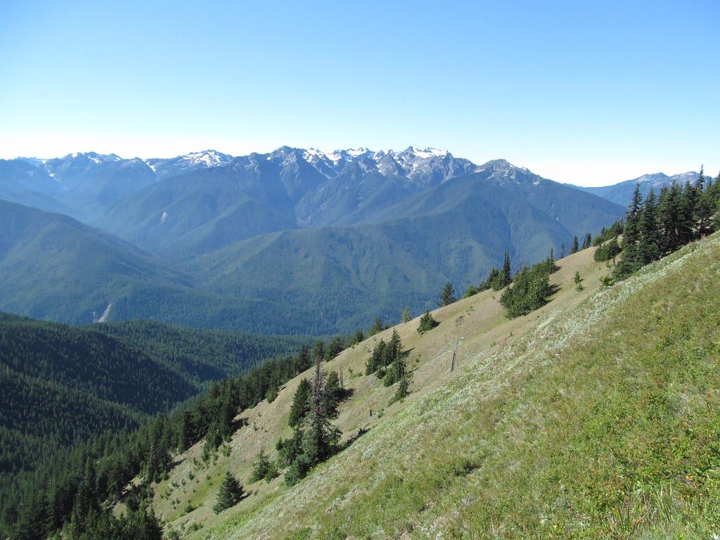
The Hurricane Hill Trail is the ridge's signature walk: 3.2 miles round trip on a moderate old roadbed, ending at a 5,757-foot summit with the full panorama — Mount Olympus and its glaciers to the south, the Strait of Juan de Fuca and Victoria to the north. Watch for Olympic marmots sunning on the rocks; they live nowhere else on Earth. If the trail is more than you want, the viewing platform behind the visitor center delivers most of the same view without leaving pavement.
An Elwha Valley stop, if you have time
On the way back down, Madison Falls in the Elwha Valley — 11 miles west of Port Angeles — is a 0.1-mile paved walk to a 60-foot cascade, the easiest waterfall in the park and a good leg-stretch. Hikers with energy left can take the Heart O' the Forest Trail, a quiet 4-mile round trip near the Heart O' the Hills entrance.
Evening in Port Angeles
Spend the evening on the waterfront: the pier at dusk, dinner in town, ice cream. Buy your groceries and any camping supplies tonight, because tomorrow heads west and the pickings thin out.
Day 2: Lake Crescent & Sol Duc
Day 2 strings together two of the park's best lowland valleys, both under an hour from Port Angeles. Do Lake Crescent in the morning, Sol Duc in the afternoon, and you'll have done two waterfalls, a lake, and a soak by dinner.
Marymere Falls and the lake
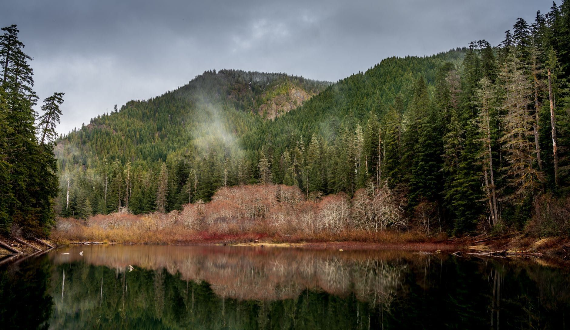
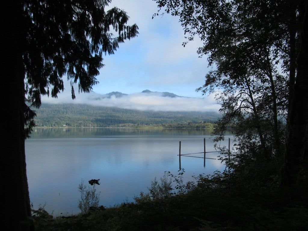
Park at the Storm King Ranger Station and walk the Marymere Falls Trail, 1.8 miles round trip through old-growth forest to a 90-foot fall. The lake itself is the headliner: glacially carved, 650 feet deep, with water clarity up to 60 feet thanks to unusually low nitrogen. Lake Crescent Lodge, built in 1915 with a stone fireplace and a sun porch, rents kayaks and canoes and serves lunch with a view. If you'd rather pedal or stroll than paddle, the Spruce Railroad Trail runs flat and paved along the north shore toward the swimming hole at Devil's Punchbowl. We have a full Lake Crescent guide if you want to linger.
The Mount Storm King option
Strong hikers should consider Mount Storm King instead of the lodge afternoon: roughly 2,000 feet of climbing on a steep trail to a viewpoint hanging over the lake. It's the best view per mile on this itinerary, but it leaves you tired for Sol Duc. Choose one or the other, not both.
Sol Duc Falls and Salmon Cascades
The Sol Duc Falls trail is an easy 1.6 miles round trip to a waterfall that splits into three or four channels as it drops about 48 feet into a rocky canyon. The trailhead lot fills by late morning in summer — arrive early or come after 4 p.m. Farther up Sol Duc Road, about 5 miles in, the Salmon Cascades roadside viewpoint is worth ten minutes from September through November, when salmon leap the rapids during the spawn. The Ancient Groves nature loop, 0.6 miles, makes a quiet closer.
The hot springs, honestly described
Sol Duc Hot Springs Resort is a set of piped, chlorinated pools — a soaking-and-sandwiches operation, not a wild spring. Sessions run 1.5 hours and are sold first-come, first-served. That's still a fine way to end a hiking day; just don't arrive expecting a forest pool.
Day 3: Rialto Beach, La Push & Forks
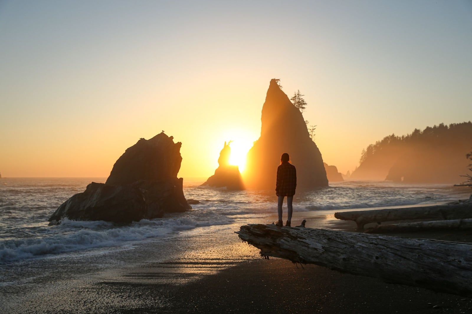
Day 3 is the coast day, and it runs on the tide chart, not the clock. Look up tomorrow's tides tonight — tables are free at visitor centers and coastal ranger stations — and plan Hole-in-the-Wall around a low or outgoing tide.
Coastal headlands are passable only near low tide, and sneaker waves can sweep people off rocks with no warning. Never turn your back on the surf, and keep children close on any Olympic beach.
Rialto Beach to Hole-in-the-Wall
The walk from the Mora-area parking lot to the Hole-in-the-Wall sea arch is 1.5 miles each way on sand and cobbles, past driftwood logjams and sea stacks, with tide pools at the arch itself — about 3 miles round trip. The arch is only passable near low tide; at higher water you clamber a muddy overland bypass. One planning note: Rialto Beach is scheduled to be closed for construction from July 8 to October 5, 2026, so check the NPS current-conditions page before your coastal day and use Second Beach as your substitute if the closure is in effect.
Pick one La Push beach
Don't try all three. Second Beach is the pick for most travelers: about a mile each way with roughly 300 feet of elevation, a rope-assisted descent to the sand, and far fewer people than Rialto. Third Beach is 1.5 miles through second-growth forest flattened by the 1921 "21 Blow" storm — 170 mph winds leveled the original trees — and suits walkers wanting a longer, wilder stretch. First Beach, at the Quileute tribal community of La Push, is the only one you can drive to, and it's the surf-and-whale-watching spot. Our beaches guide ranks all of them.
Midday in Forks
Forks, population about 5,000, is a resupply town with a Twilight habit — the books were set here, and themed shops and tours lean into it. The practical stops are the Thriftway for groceries and fuel. On Wednesdays from May through September the town runs free three-hour logging and mill tours, genuinely interesting if you're curious why the peninsula looks the way it does. Sleep here tonight.
Day 4: Hoh Rain Forest & the Southern Beaches
Set an alarm. The Hoh Rain Forest gets almost 12 feet of rain a year, grows some of the densest old-growth forest in the country, and in July its entrance line can stretch past an hour once the lot fills. Arrive before 8 a.m. — or after 5 p.m. — and the problem disappears. Forks to the Hoh visitor center is about an hour down Upper Hoh Road; bring food, because the only shop out there is small.
Hall of Mosses and the Spruce Nature Trail
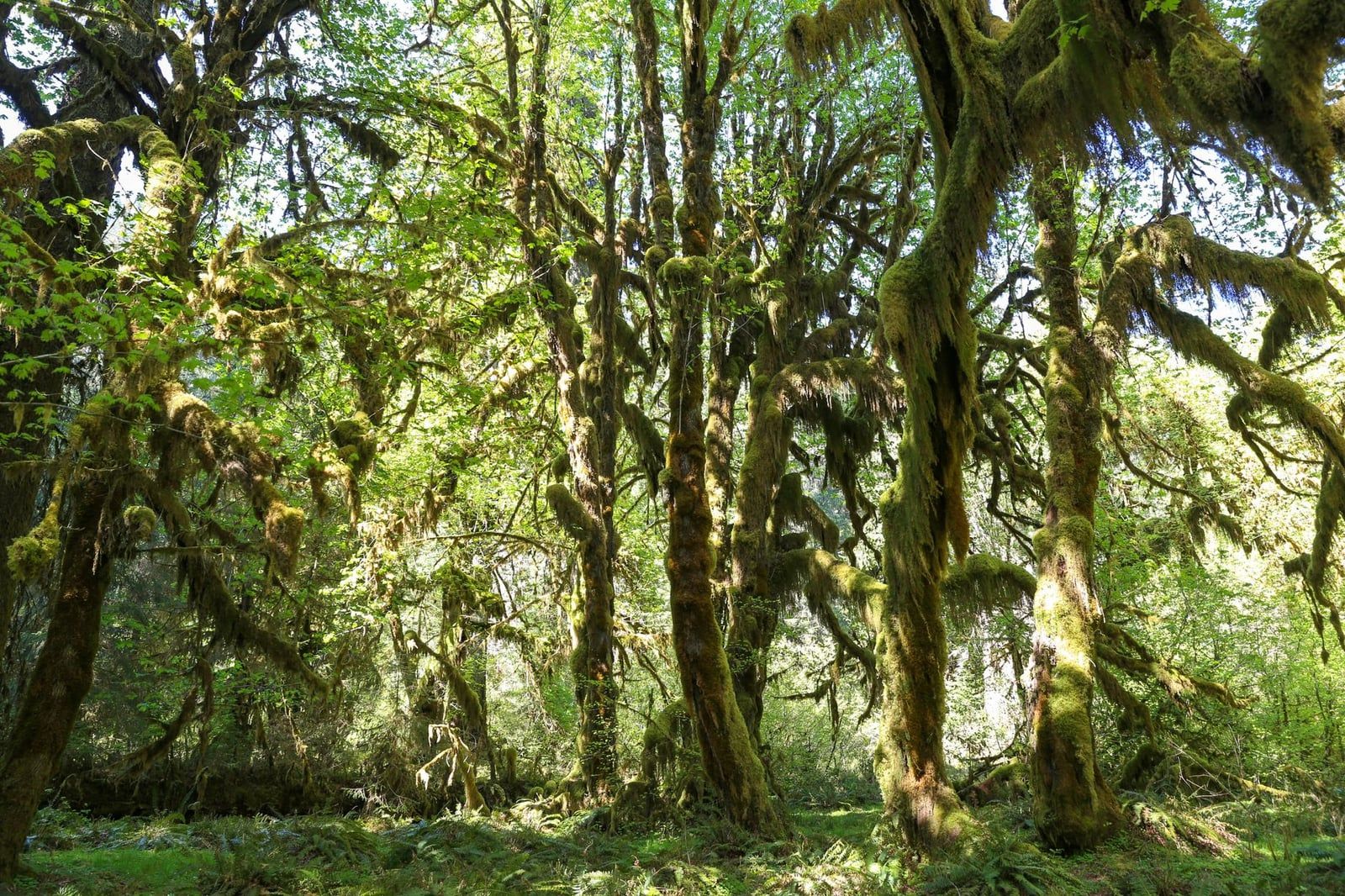
Two short loops cover the Hoh's highlights in about two hours. The Hall of Mosses, 0.8 miles, walks through bigleaf maples hung with curtains of club moss — the green-light, fern-floor scene the rain forest is famous for. The Spruce Nature Trail, 1.2 miles, runs along the teal Hoh River past towering Sitka spruce. Roosevelt elk graze the meadows near the visitor center most mornings. With more time, the Hoh River Trail continues 17.3 miles toward Mount Olympus; day hikers commonly turn around at Mineral Creek Falls, about 6 miles round trip.
Ruby Beach and the Kalaloch strip
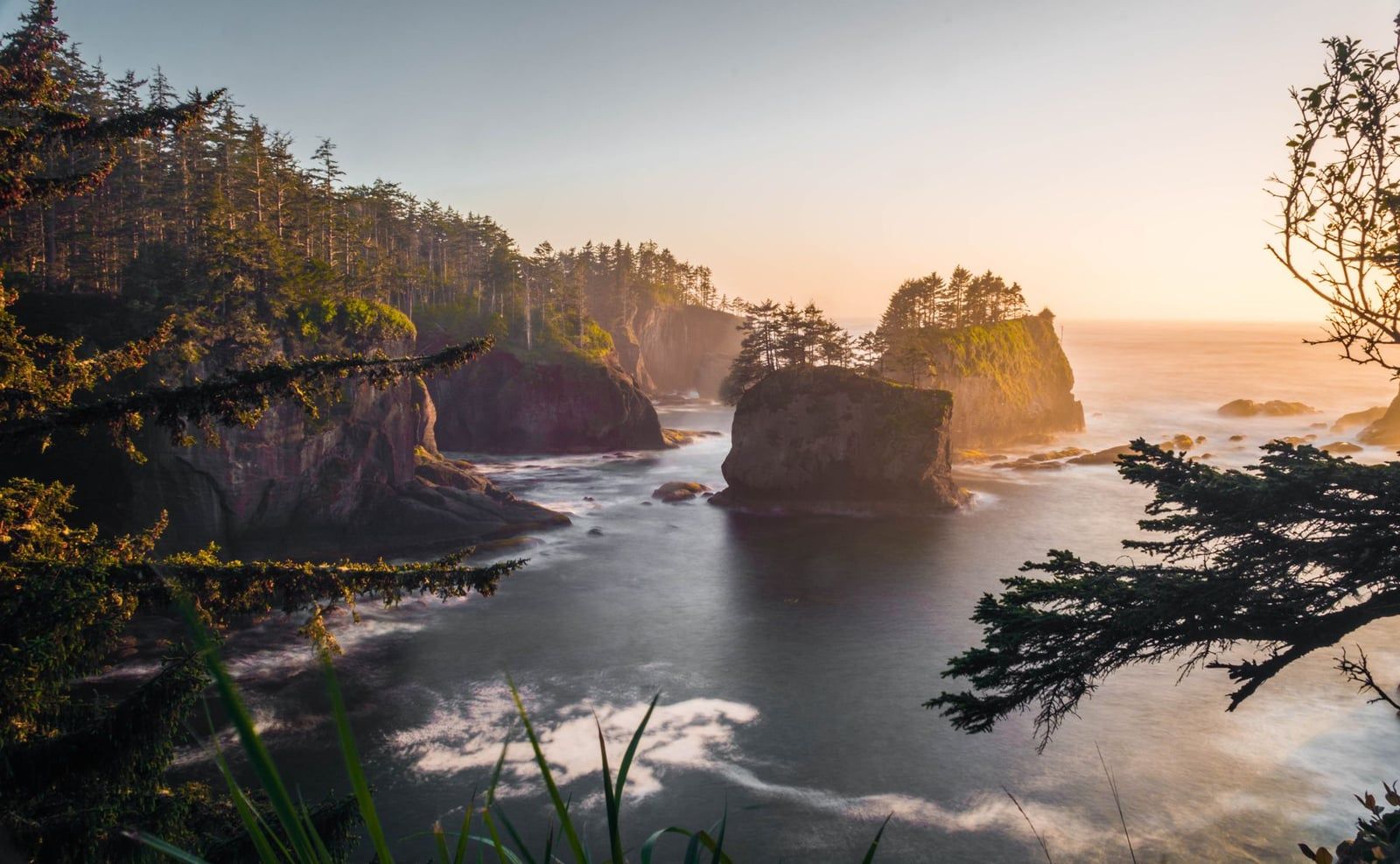
Drive south after lunch. Ruby Beach, about 45 minutes from the Hoh, is the most-photographed beach on the coast — sea stacks, a creek crossing, and a short walk from the parking lot, which is why the lot fills by midday. Another 20 minutes south is the Kalaloch stretch: the Tree of Life, a sitka spruce clinging impossibly between two eroding cliff faces; Beach 4, the area's best tide pools, worth timing for a falling tide (see our tide pool guide); and the Big Cedar near milepost 170, more than 175 feet tall and nearly 20 feet through.
Night 4 at Kalaloch
Kalaloch Lodge's cabins sit on the bluff above the beach — book well ahead, and know they have no TV or Wi-Fi. The Kalaloch campground, a short walk from the sand, takes reservations for the summer season. Either way, fall asleep to surf.
Day 5: Kalaloch & Lake Quinault
Day 5 is deliberately soft: a morning beach walk, some roadside big trees, and the drive home. If the forecast looks wet for your last day, pull these Quinault stops forward into day four's afternoon — they're the most rain-tolerable stops on the loop.
Morning at Kalaloch
Walk the broad sand in front of the lodge before you check out — sand dollars and driftwood, tide pools at the southern end, and sea stacks to the north. An hour is plenty.
Merriman Falls and the record spruce
South on 101, Merriman Falls is visible from the roadside — no hike, just a pullout and a 40-foot ribbon of water. Nearby, a short gravel path reaches the World's Largest Sitka Spruce, nearly 200 feet tall with a 58-foot circumference. If you want one last walk, Gatton Creek Falls is a 0.6-mile round trip. This valley gets 10 to 15 feet of rain a year; even more than the Hoh, it's a rain forest first and a sight second.
The Quinault loop and the drive home
The 31-mile Quinault Loop Drive circles the lake on North and South Shore Roads, connected by 17 miles of gravel — fine for cars, off-limits to RVs and trucks hauling campers. Lake Quinault Lodge, built in 1926 among the big trees, is a fitting final stop; the lakeside dining room is a good last meal on the peninsula. From here it's just under four hours back to Seattle via Olympia, so leave by mid-afternoon.
Choose Your Wild Coast: Cape Flattery vs. Ozette vs. Shi Shi
The three great north-coast experiences — Cape Flattery, the Ozette Triangle, and Shi Shi Beach — sit within an hour of each other near Neah Bay, and you cannot do all three in a five-day trip. Pick one deliberately. Here's the head-to-head.
| Cape Flattery | Ozette Triangle | Shi Shi Beach | |
|---|---|---|---|
| Round trip | 1.2 miles | 9.2 miles | About 8.8 miles |
| Difficulty | Easy boardwalk | Hard, full day | Hard, full day |
| Cost | $20 Makah pass | Park entry only | Park entry; permit if overnight |
| Tide rules | None | Beach section needs low tide | Headlands need low tide |
| Best for | Views, first-timers, families | Petroglyphs, a big hike | Wilderness feel, campers |
Cape Flattery
A 1.2-mile round-trip boardwalk on Makah tribal land ends at viewing platforms over the northwesternmost point of the contiguous United States — sea caves, stacks, and the open Pacific below. It's the easiest of the three and the only one requiring the $20 Makah Recreation Pass. Pair it with the Makah Cultural and Research Center in Neah Bay, which displays tribal artifacts more than 500 years old; it's one of the best small museums in Washington.
Ozette Triangle
The 9.2-mile lollipop from Lake Ozette runs 3 miles of cedar-plank boardwalk through forest, then miles of wild beach, then boardwalk back. At Wedding Rocks, carved into the headland, 54 petroglyphs face the water. The beach section is passable only near low tide, so the start time is dictated for you. It's the finest day hike on this coast if your legs are up for it.
Shi Shi Beach
Roughly 8.8 miles round trip, about 4 miles each way through forest and mud to one of the wildest beaches in the lower 48. Most people don't day-hike it — they camp, on a wilderness permit ($8 per person per night plus a $6 reservation fee). If you want the overnight version, our backcountry planning guide covers permits and routes.
How a swap reshapes the trip: any of the three eats a full day near Neah Bay, so it converts day 3 into a Neah Bay day and pushes Rialto/La Push to day 4 alongside Ruby Beach. Only do this if you're adding a sixth day — squeeze it into five and you'll cut either the Hoh or Quinault. Whichever you choose, check the NPS current-conditions page first; coastal construction and trail work close stretches of this coast periodically, and Rialto's 2026 closure is the current example.
Packing & Pro Tips for 5 Days in Olympic
Pack for rain first, scenery second. The western valleys get 140 inches a year, and temperatures can swing 10–20°F in a single day even in summer.
- Non-cotton base layers, plus warm layers for cold nights
- Rain jacket and rain pants — not a shell alone
- Waterproof trail shoes or boots; boardwalks are slick when wet
- Tide table (or a downloaded copy) and offline maps
- Ten Essentials on any hike beyond the nature loops
The timing playbook, trip-wide: Hurricane Ridge in morning light; the Sol Duc Falls lot before late morning; the Hoh before 8 a.m. or after 5 p.m.; Ruby Beach early or late; coastal walks at a low or outgoing tide. Every one of these is a parking problem disguised as a scheduling problem — arrive at the wrong hour in July and you'll queue behind a hundred cars.
Cell service disappears west of Port Angeles and stays patchy around Forks and the Hoh. Download offline maps and your tide tables before day three. Food works the same way: Port Angeles and Forks have full supermarkets, the Hoh has a small store, and Kalaloch-to-Quinault has essentially nothing. Fill the cooler in Forks.
Bringing a dog? Olympic is more permissive than most national parks, but only on paper's fine print: leashed dogs are allowed on a short list of trails (Madison Falls and the Spruce Railroad Trail among them), in campgrounds and picnic areas, on paved roads, and on certain beach stretches — and prohibited on nearly all other trails and in the wilderness. Check the park's pets page trail by trail before you commit. And wherever you go, leave the tide pools' creatures in place and the driftwood on the beach.
Frequently Asked Questions
Is 5 days enough for Olympic National Park?
You can't cover the park's 922,651 acres — no roads cross the interior — but five days comfortably covers all three ecosystems: Hurricane Ridge's alpine country, the Lake Crescent and Sol Duc lowlands, the Hoh Rain Forest, and the Pacific beach strip. Three days is the workable minimum; five lets you add real hikes.
Do I need reservations to enter Olympic National Park or the Hoh Rain Forest?
No reservation is required to enter the park or the Hoh. The real bottleneck is the Hoh entrance line in July, when waits can run an hour or more once lots fill — arrive before 8 a.m. or after 5 p.m. Campsites at Hoh, Kalaloch, Mora, and Sol Duc do require reservations in peak season, booked via recreation.gov.
How much does 5 days in Olympic National Park cost?
Entrance is $30 per vehicle for 7 days ($25 motorcycle, $15 on foot or bike); an Olympic annual pass is $55 and an America the Beautiful pass $80. Camping runs $15–24 per night. Add $20 for the Makah Recreation Pass if you visit Cape Flattery, and $8 per person per night plus a $6 fee for any wilderness permit.
What's the best month for a 5-day Olympic trip?
July through September for the driest weather and full services; September for thinner crowds plus spawning salmon in the Sol Duc; June for slightly quieter trails before peak season. Rain is possible any month. In winter, the Hurricane Ridge road typically opens Friday through Sunday for snow activities.
Which stops require tide planning?
Rialto Beach's Hole-in-the-Wall is passable only near low tide, and the Ozette Triangle's beach section and Shi Shi headlands have the same constraint. Check the tide table the night before and walk those stretches on an outgoing tide. Free tables are available at visitor centers.
Where should I stay during 5 days in Olympic?
Two bases: two nights in Port Angeles for Hurricane Ridge, Lake Crescent, and Sol Duc, then two nights in Forks for the beaches and the Hoh — or move the second base to Kalaloch Lodge for night four. A final night at Lake Quinault shortens the last day's drive to Seattle.
Can I bring my dog on this itinerary?
Partly. Leashed dogs are allowed on a short list of trails (including Madison Falls and the Spruce Railroad Trail), in campgrounds, on roads, and on some beach stretches, but they're prohibited on nearly all other park trails and in the wilderness. Verify each trail's rules on the park's pets page before you go.